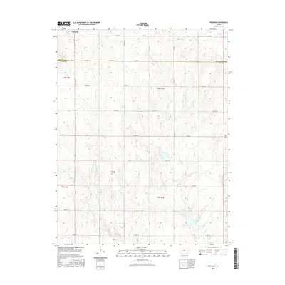
2015 Map of Piedmont
USGS Topo · Published 2015About this map
Piedmont sits at the northern edge of a landscape defined by the drainage systems of Rock Cr and Pawpaw Cr. This 2015 survey captures the rural character of the border between Greenwood and Elk Counties, where section-line roads like Native Rd and Pioneer Rd crisscross a terrain of subtle elevation changes. The map provides specific locations for local genealogical research, including the Bunker Hill Cem centrally located near the creek beds and Cresco Cem positioned along the eastern boundary. The network of township roads such as Twp Rd 497 and Twp Rd 97 reflects a long-established agricultural grid, connecting remote farmsteads to the settlement at Piedmont.
Find a feature on this map
37 named features on this map. Tap any name to fly to it.
Don’t see what you’re looking for? This feature index may not catch every label — zoom into the map to look around manually.
Map Details
Editions of this 2015 Piedmont Map
This is the sole edition of this map. No revisions or reprints were ever made.
Other maps of this area

1885 · Eureka
USGS Topo · 1:125,000

1885 · Sedan
USGS Topo · 1:125,000

1888 · Eureka
USGS Topo · 1:125,000

1889 · Sedan
USGS Topo · 1:125,000

1894 · Eureka
USGS Topo · 1:125,000

1939 · Severy
USGS Topo · 1:62,500

1941 · Severy
USGS Topo · 1:62,500

1955 · Wichita
USGS Topo · 1:250,000

1958 · Wichita
USGS Topo · 1:250,000
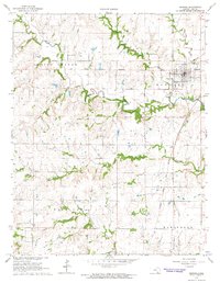
1964 · Howard
USGS Topo · 1:24,000