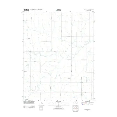
2012 Map of Piedmont NE
USGS Topo · Published 2012About this map
Otter Creek and its complex network of tributaries, including North Branch Otter Creek and South Branch Otter Creek, define the drainage of this rural Greenwood County landscape. The settlement of Piedmont occupies the southwestern corner, while the surrounding territory is primarily organized by a grid of township highways and county roads. Notable local landmarks include the Pleasant View Cemetery and the Stuber Flying Ranch Airport, reflecting the region's agricultural and aviation heritage. Waterways like Tadpole Creek and Plum Creek meander across the terrain, illustrating the natural geography of the Kansas plains prior to modern development. The map provides a detailed view of property access via routes like Tadpole Road and Weisharr Lane, which serve the dispersed homesteads of this prairie community.
Find a feature on this map
47 named features on this map. Tap any name to fly to it.
Don’t see what you’re looking for? This feature index may not catch every label — zoom into the map to look around manually.
Map Details
Editions of this 2012 Piedmont NE Map
This is the sole edition of this map. No revisions or reprints were ever made.
Other maps of this area
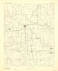
1885 · Eureka
USGS Topo · 1:125,000
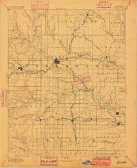
1888 · Eureka
USGS Topo · 1:125,000
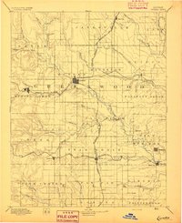
1894 · Eureka
USGS Topo · 1:125,000
1939 · Severy
USGS Topo · 1:62,500
1941 · Severy
USGS Topo · 1:62,500
1955 · Wichita
USGS Topo · 1:250,000
1958 · Wichita
USGS Topo · 1:250,000
1964 · Piedmont SW
USGS Topo · 1:24,000
1964 · Piedmont NW
USGS Topo · 1:24,000
1964 · Piedmont NE
USGS Topo · 1:24,000