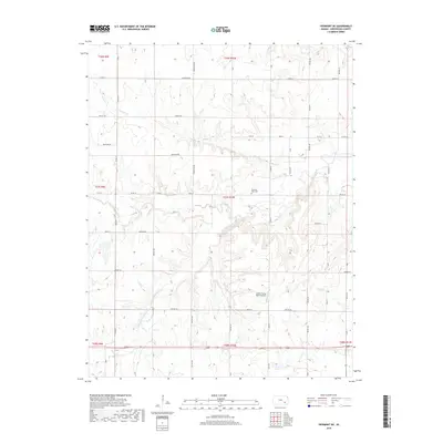
2018 Map of Piedmont NE
USGS Topo · Published 2018About this map
The undulating drainage network of South Branch Otter Creek and its many tributaries defines this portion of the Flint Hills in Greenwood County. The landscape is marked by a mix of agricultural roads and large ranching tracts, most notably the Stuber Flying Ranch Airport situated near the center of the survey area. This facility, along with the nearby Pleasant View Cem, serves as a primary landmark for local history and genealogy. Watercourses like Tadpole Cr and N Br Otter Cr carve through the terrain, illustrating the natural watershed that has historically dictated land use and property lines in this region. The map also shows the transition into neighboring drainage basins including portions of Salt Cr and Plum Cr, providing a clear look at the area's rural infrastructure and hydrology in the modern era.
Find a feature on this map
39 named features on this map. Tap any name to fly to it.
Don’t see what you’re looking for? This feature index may not catch every label — zoom into the map to look around manually.
Map Details
Editions of this 2018 Piedmont NE Map
This is the sole edition of this map. No revisions or reprints were ever made.
Other maps of this area
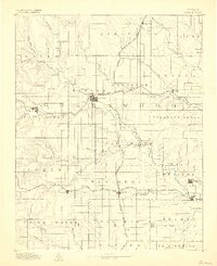
1885 · Eureka
USGS Topo · 1:125,000
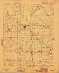
1888 · Eureka
USGS Topo · 1:125,000
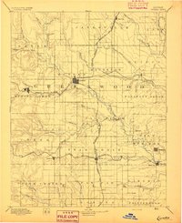
1894 · Eureka
USGS Topo · 1:125,000
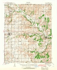
1939 · Severy
USGS Topo · 1:62,500
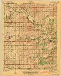
1941 · Severy
USGS Topo · 1:62,500
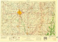
1955 · Wichita
USGS Topo · 1:250,000

1958 · Wichita
USGS Topo · 1:250,000
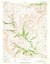
1964 · Piedmont SW
USGS Topo · 1:24,000
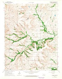
1964 · Piedmont NW
USGS Topo · 1:24,000
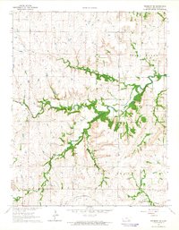
1964 · Piedmont NE
USGS Topo · 1:24,000