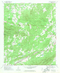
1967 Map of Piedmont NW
USGS Topo · Published 1969About this map
Colvin Mountain dominates the central landscape of this 1960s survey, where the rolling foothills of the Appalachian range meet the rural crossroads of Calhoun Co. The map reveals a deeply rooted rural society defined by dozens of small country churches and family-named intersections such as Knightens Crossroads and Estes Crossroads. Transport and industry are anchored in the south by the parallel tracks of the Seaboard Coast Line and Southern Railway, which serve the small communities of Maxwellborn and Prices. The presence of the Webb Sch and numerous cemeteries like Littlejohn Cem suggests a landscape of long-standing family farmsteads. To the east, the edge of Piedmont begins to appear, featuring a contemporary Drive-in Theater and the local The Apostolic Doctrine Ch. The southern reaches transition into the protected lands of the Talladega National Forest and Choccolocco.
Find a feature on this map
44 named features on this map. Tap any name to fly to it.
Don’t see what you’re looking for? This feature index may not catch every label — zoom into the map to look around manually.
Map Details
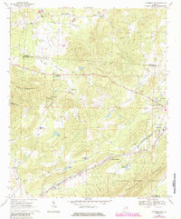
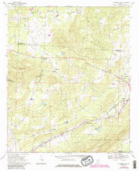
Editions of this 1967 Piedmont NW Map
3 editions found
Other maps of this area

1893 · Fort Payne
USGS Topo · 1:125,000

1898 · Fort Payne
USGS Topo · 1:125,000

1900 · Fort Payne
USGS Topo · 1:125,000

1900 · Anniston
USGS Topo · 1:125,000

1947 · Colvin Gap
USGS Topo · 1:24,000

1947 · Jacksonville
USGS Topo · 1:24,000

1947 · Jacksonville
USGS Topo · 1:62,500

1953 · Atlanta
USGS Topo · 1:250,000

1955 · Rome
USGS Topo · 1:250,000
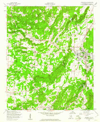
1956 · Jacksonville
USGS Topo · 1:24,000