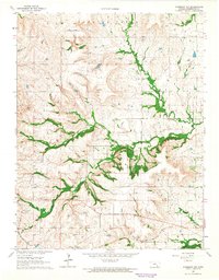
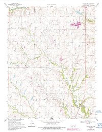
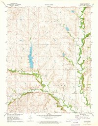
1964 Map of Piedmont NW
USGS Topo · Published 1965This historical map portrays the area of Piedmont NW in 1964, primarily covering Greenwood County. Featuring a scale of 1:24000, this map provides a highly detailed snapshot of the terrain, roads, buildings, counties, and historical landmarks in the Piedmont NW region at the time. Published in 1965, it is one of 2 known editions of this map due to revisions or reprints.
Map Details
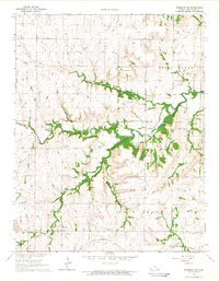
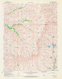
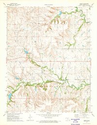
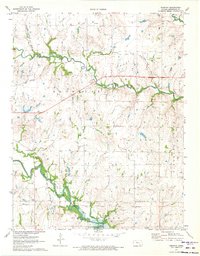
Editions of this 1964 Piedmont NW Map
2 editions found
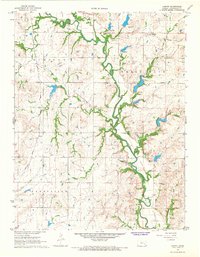
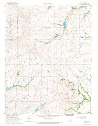
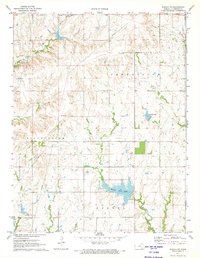
Historical Maps of Blodgett Through Time
12 maps found
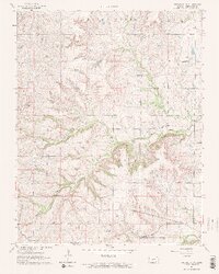
1964 Piedmont NE
Greenwood County, KS
1964 Piedmont NW
Greenwood County, KS
1967 Lamont
Greenwood County, KS
1967 Madison SW
Greenwood County, KS
1967 Teterville
Greenwood County, KS
1967 Thrall
Greenwood County, KS
1971 Eureka NE
Greenwood County, KS
1971 Lapland
Greenwood County, KS
1971 Reece
Greenwood County, KS
1971 Tonovay
Greenwood County, KS

1975 Fall River Lake
Greenwood County, KS
1975 Severy North
Greenwood County, KS