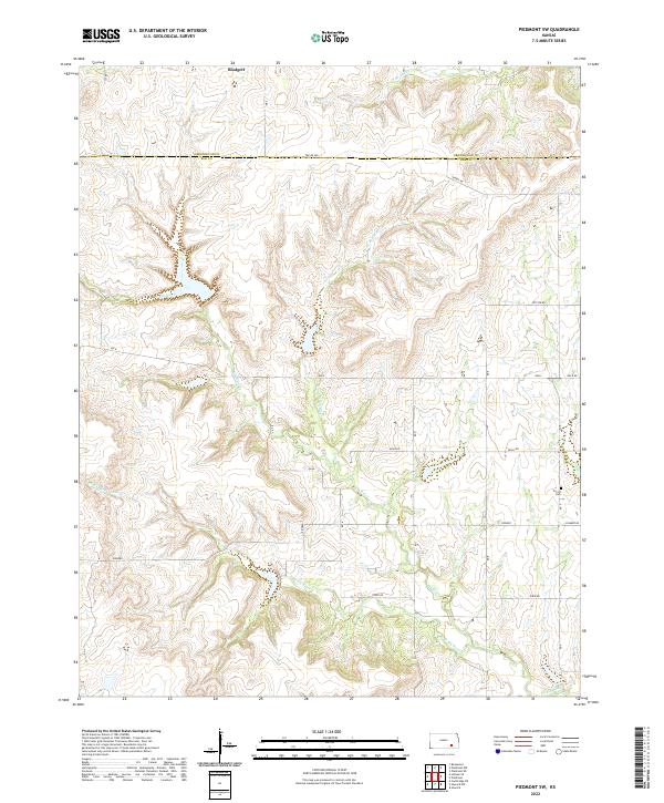
2022 Map of Piedmont SW
USGS Topo · Published 2022About this map
The upper reaches of the Elk River drainage define the landscape of this rural Kansas territory, where the borders of Greenwood and Elk Counties meet. This area, largely comprised of grazing lands and river bottoms, shows a very sparse settlement pattern characteristic of the Flint Hills region. The tiny community of Blodgett stands near the northern edge of the sheet, serving as one of the few named residential concentrations in a landscape otherwise dominated by section lines and natural waterways.
Find a feature on this map
25 named features on this map. Tap any name to fly to it.
Don’t see what you’re looking for? This feature index may not catch every label — zoom into the map to look around manually.
Map Details
Editions of this 2022 Piedmont SW Map
This is the sole edition of this map. No revisions or reprints were ever made.
Other maps of this area

1885 · Eureka
USGS Topo · 1:125,000

1885 · Sedan
USGS Topo · 1:125,000

1888 · Eureka
USGS Topo · 1:125,000

1888 · Eldorado
USGS Topo · 1:125,000

1889 · Burden
USGS Topo · 1:125,000

1889 · Sedan
USGS Topo · 1:125,000

1894 · Eureka
USGS Topo · 1:125,000

1955 · Wichita
USGS Topo · 1:250,000

1958 · Wichita
USGS Topo · 1:250,000
1964 · Howard
USGS Topo · 1:24,000