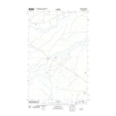
2011 Map of Piegan
USGS Topo · Published 2011About this map
Holy Family Mission stands as a focal point of cultural and community history in this part of Glacier County, situated near the northern banks where the Two Medicine River winds through the landscape. This 2011 survey reveals a territory defined by its watercourses and traditional pathways, with the Piegan settlement and its surrounding trail network, such as the Piegan Trl and Wetzel Trl, illustrating the enduring connectivity of the region.
Find a feature on this map
20 named features on this map. Tap any name to fly to it.
Don’t see what you’re looking for? This feature index may not catch every label — zoom into the map to look around manually.
Map Details
Editions of this 2011 Piegan Map
This is the sole edition of this map. No revisions or reprints were ever made.
Other maps of this area

1911 · Blackfoot
USGS Topo · 1:125,000

1914 · Heart Butte
USGS Topo · 1:125,000

1918 · Heart Butte
USGS Topo · 1:125,000

1960 · Cut Bank
USGS Topo · 1:250,000

1963 · Cut Bank
USGS Topo · 1:250,000

1964 · Cut Bank
USGS Topo · 1:250,000
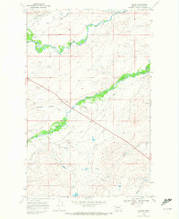
1968 · Piegan
USGS Topo · 1:24,000

1968 · White Man Coulee
USGS Topo · 1:24,000
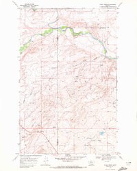
1968 · Rocky Ridge
USGS Topo · 1:24,000
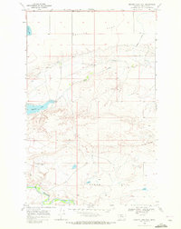
1968 · Mission Lake East
USGS Topo · 1:24,000