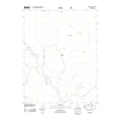
2011 Map of Pieplant
USGS Topo · Published 2011About this map
Pieplant Mine and the nearby Pieplant Mill sit at the center of this high-elevation Colorado survey, marking the site of an early mining settlement along Pieplant Creek. The landscape is dominated by the Continental Divide and significant peaks including Grizzly Peak and Jenkins Mountain. The drainage patterns of the Taylor River and Illinois Creek shape the travel corridors, with the Illinois Creek Rd and several forest roads providing access to the steep terrain.
Find a feature on this map
21 named features on this map. Tap any name to fly to it.
Don’t see what you’re looking for? This feature index may not catch every label — zoom into the map to look around manually.
Map Details
Editions of this 2011 Pieplant Map
This is the sole edition of this map. No revisions or reprints were ever made.
Other maps of this area

1889 · Leadville
USGS Topo · 1:125,000

1891 · Leadville
USGS Topo · 1:125,000

1909 · Mount Jackson
USGS Topo · 1:125,000

1911 · Mount Jackson
USGS Topo · 1:125,000

1934 · Taylor Park
USGS Topo · 1:62,500

1935 · Mount Elbert
USGS Topo · 1:62,500

1937 · Taylor Park
USGS Topo · 1:62,500

1938 · Mount Elbert
USGS Topo · 1:62,500

1939 · Mount Elbert
USGS Topo · 1:62,500

1942 · Leadville
USGS Topo · 1:125,000