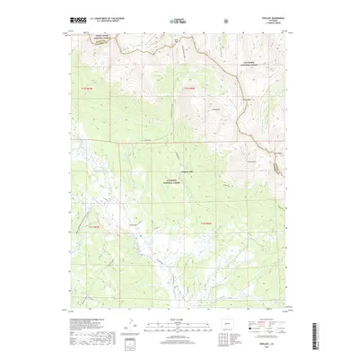
2019 Map of Pieplant
USGS Topo · Published 2019About this map
Pieplant Mill sits at the heart of this high-elevation landscape, where the headwaters of Pieplant Cr and the Taylor River meet. The area is a nexus of three major federal territories: the White River National Forest, San Isabel National Forest, and Gunnison National Forest. The terrain is characterized by massive peaks and basins, including the soaring Grizzly Peak and the high glacial cirques of Church Basin and Silver Basin. Genealogists and historians can trace the network of Forest Service roads and trails, such as 7756 and 7751, that navigate the timberline. The northern reaches are punctuated by alpine water bodies like Lake Patricia and Alan Lake, while the southern portion opens into the broader valley of Taylor Park, showing the transition from steep mountainsides to the more level terrain of Doctor Park.
Find a feature on this map
48 named features on this map. Tap any name to fly to it.
Don’t see what you’re looking for? This feature index may not catch every label — zoom into the map to look around manually.
Map Details
Editions of this 2019 Pieplant Map
This is the sole edition of this map. No revisions or reprints were ever made.
Other maps of this area
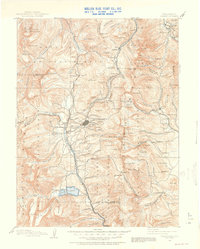
1889 · Leadville
USGS Topo · 1:125,000
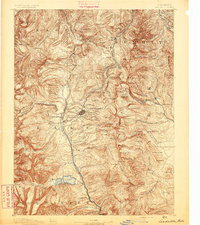
1891 · Leadville
USGS Topo · 1:125,000
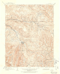
1909 · Mount Jackson
USGS Topo · 1:125,000
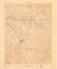
1911 · Mount Jackson
USGS Topo · 1:125,000
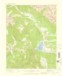
1934 · Taylor Park
USGS Topo · 1:62,500
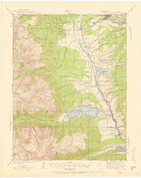
1935 · Mount Elbert
USGS Topo · 1:62,500
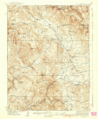
1937 · Taylor Park
USGS Topo · 1:62,500
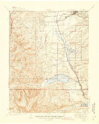
1938 · Mount Elbert
USGS Topo · 1:62,500
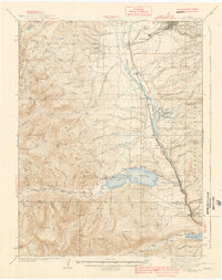
1939 · Mount Elbert
USGS Topo · 1:62,500
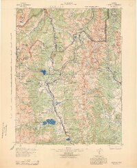
1942 · Leadville
USGS Topo · 1:125,000