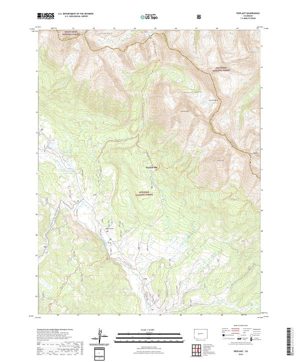
2022 Map of Pieplant
USGS Topo · Published 2022About this map
The Pieplant Mill sits near the heart of the high-country Sawatch Range, serving as a focal point for the industrial history of this area within the Gunnison National Forest. This section of the central Rockies is defined by its extreme elevations and the network of waterways flowing from the peaks, including the Taylor River and Illinois Cr. The landscape is a hub of connectivity for early mountain travel, evidenced by the convergence of the Timberline Trl, Red Mountain Creek Trl, and Taylor River Trl.
Find a feature on this map
35 named features on this map. Tap any name to fly to it.
Don’t see what you’re looking for? This feature index may not catch every label — zoom into the map to look around manually.
Map Details
Editions of this 2022 Pieplant Map
This is the sole edition of this map. No revisions or reprints were ever made.
Other maps of this area

1889 · Leadville
USGS Topo · 1:125,000

1891 · Leadville
USGS Topo · 1:125,000

1909 · Mount Jackson
USGS Topo · 1:125,000

1911 · Mount Jackson
USGS Topo · 1:125,000

1934 · Taylor Park
USGS Topo · 1:62,500

1935 · Mount Elbert
USGS Topo · 1:62,500

1937 · Taylor Park
USGS Topo · 1:62,500

1938 · Mount Elbert
USGS Topo · 1:62,500

1939 · Mount Elbert
USGS Topo · 1:62,500

1942 · Leadville
USGS Topo · 1:125,000