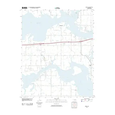
2010 Map of Pierce
USGS Topo · Published 2010About this map
The North Canadian River and the Deep Fork converge within the sprawling waters of Lake Eufula in this McIntosh County landscape. The map shows a region defined by its complex shoreline, where numerous inlets like Gentry Creek and Snake Creek create a jagged interface between water and land. Small rural settlements including Pierce and Richardsville are situated on the higher ground between these aquatic fingers, connected by a grid of local roads such as N4100 Rd and E 1090 Rd.
Find a feature on this map
32 named features on this map. Tap any name to fly to it.
Don’t see what you’re looking for? This feature index may not catch every label — zoom into the map to look around manually.
Map Details
Editions of this 2010 Pierce Map
This is the sole edition of this map. No revisions or reprints were ever made.
Other maps of this area

1896 · Okmulgee
USGS Topo · 1:125,000

1900 · Canadian
USGS Topo · 1:125,000

1900 · Okmulgee
USGS Topo · 1:125,000

1946 · Fort Smith
USGS Topo · 1:250,000

1962 · Raiford
USGS Topo · 1:24,000

1962 · Pierce
USGS Topo · 1:24,000

1962 · Hoffman
USGS Topo · 1:24,000

1963 · Stidham
USGS Topo · 1:24,000

1963 · Eufaula
USGS Topo · 1:24,000

1963 · Checotah
USGS Topo · 1:24,000