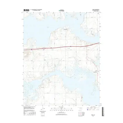
2016 Map of Pierce
USGS Topo · Published 2016About this map
Eufaula Lake dominates the topography of this McIntosh County landscape, its winding arms reaching into the surrounding rural uplands. The small settlements of Pierce and Richardsville serve as primary points of interest for local historians, representing the persistent community structure of eastern Oklahoma. The map reveals a high concentration of burial sites, including the Pierce Cem, Brush Hill Cem, McNik Cem, and Big Arbor Cem, which offer significant value for genealogists tracing family histories in the area. Smaller waterways like Snake Cr and Fame Br feed into the larger reservoir, illustrating the local drainage patterns that shaped early settlement. A network of section-line roads, such as New Pierce Rd and N4100 Rd, connects the scattered farmsteads and rural homes that characterize the region.
Find a feature on this map
35 named features on this map. Tap any name to fly to it.
Don’t see what you’re looking for? This feature index may not catch every label — zoom into the map to look around manually.
Map Details
Editions of this 2016 Pierce Map
This is the sole edition of this map. No revisions or reprints were ever made.
Other maps of this area

1896 · Okmulgee
USGS Topo · 1:125,000

1900 · Canadian
USGS Topo · 1:125,000

1900 · Okmulgee
USGS Topo · 1:125,000

1946 · Fort Smith
USGS Topo · 1:250,000

1962 · Raiford
USGS Topo · 1:24,000

1962 · Pierce
USGS Topo · 1:24,000

1962 · Hoffman
USGS Topo · 1:24,000

1963 · Stidham
USGS Topo · 1:24,000

1963 · Eufaula
USGS Topo · 1:24,000

1963 · Checotah
USGS Topo · 1:24,000