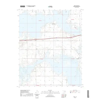
2018 Map of Pierce
USGS Topo · Published 2018About this map
Eufaula Lake dominates this McIntosh County landscape, its sprawling inlets and fingers defining the settlement patterns north of the Fame Br. The village of Pierce sits centrally, serves as a hub for local routes like New Pierce Rd and Rock Bluff Rd. Farther east, the community of Brush Hill is established near the lakeshore, while Richardsville occupies the high ground to the north. For those tracing family histories, several burial grounds are preserved on this land, including McNik Cem and Pierce Cem. The map illustrates the contemporary road network, from major thoroughfares like E 1080 Rd to residential corridors like Bell Flower Dr, showing how modern infrastructure navigates the complex shoreline and wetland areas of the reservoir.
Find a feature on this map
40 named features on this map. Tap any name to fly to it.
Don’t see what you’re looking for? This feature index may not catch every label — zoom into the map to look around manually.
Map Details
Editions of this 2018 Pierce Map
This is the sole edition of this map. No revisions or reprints were ever made.
Other maps of this area
1896 · Okmulgee
USGS Topo · 1:125,000
1900 · Canadian
USGS Topo · 1:125,000
1900 · Okmulgee
USGS Topo · 1:125,000
1946 · Fort Smith
USGS Topo · 1:250,000
1962 · Raiford
USGS Topo · 1:24,000
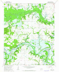
1962 · Pierce
USGS Topo · 1:24,000
1962 · Hoffman
USGS Topo · 1:24,000
1963 · Stidham
USGS Topo · 1:24,000
1963 · Eufaula
USGS Topo · 1:24,000
1963 · Checotah
USGS Topo · 1:24,000