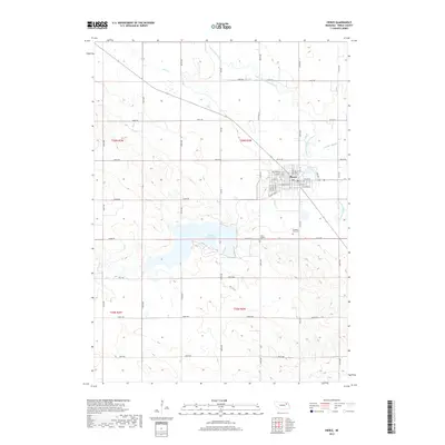
2017 Map of Pierce
USGS Topo · Published 2017About this map
Pierce serves as the focal point of this Nebraska landscape, situated near the confluence of the North Fork Elkhorn River and Willow Cr. The town's grid is well-defined, showing residential and commercial expansion toward the banks of the river and Pierce Lake. The surrounding terrain is characterized by the significant presence of water, most notably the expansive Willow Creek Lake to the southwest, which dominates the central portion of the map.
Find a feature on this map
49 named features on this map. Tap any name to fly to it.
Don’t see what you’re looking for? This feature index may not catch every label — zoom into the map to look around manually.
Map Details
Editions of this 2017 Pierce Map
This is the sole edition of this map. No revisions or reprints were ever made.
Other maps of this area
1955 · Sioux City
USGS Topo · 1:250,000
1958 · Sioux City
USGS Topo · 1:250,000
1959 · Sioux City
USGS Topo · 1:250,000
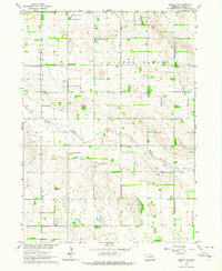
1963 · Pierce NW
USGS Topo · 1:24,000
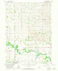
1963 · Pierce SE
USGS Topo · 1:24,000
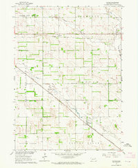
1963 · Foster
USGS Topo · 1:24,000
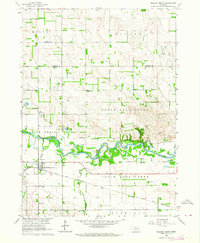
1963 · Meadow Grove
USGS Topo · 1:24,000
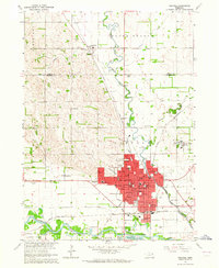
1963 · Norfolk
USGS Topo · 1:24,000
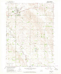
1963 · Osmond
USGS Topo · 1:24,000
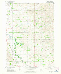
1963 · Wee Town
USGS Topo · 1:24,000