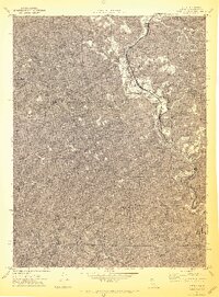
1969 Map of Piercy
USGS Topo · Published 1973About this map
The South Fork Eel River carves a deep path through the Mendocino County landscape, where the primary north-south artery of 101 follows the river's winding course. This late 1960s survey documents the settlements of Andersonia and Piercy, as well as the former location of Moody. The topography is defined by sharp ridges like Waterfall Ridge and named clearings such as Dugans Opening, illustrating the challenging terrain of the northern California timberlands.
Find a feature on this map
32 named features on this map. Tap any name to fly to it.
Don’t see what you’re looking for? This feature index may not catch every label — zoom into the map to look around manually.
Map Details
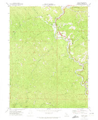
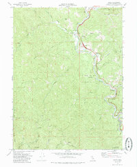
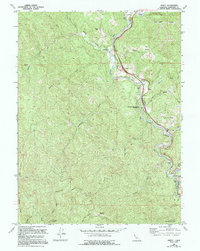
Editions of this 1969 Piercy Map
4 editions found
Other maps of this area

1920 · Cummings
USGS Topo · 1:62,500

1920 · Harris
USGS Topo · 1:62,500

1921 · Briceland
USGS Topo · 1:62,500

1949 · Alderpoint
USGS Topo · 1:62,500

1949 · Garberville
USGS Topo · 1:62,500

1950 · Piercy
USGS Topo · 1:62,500

1951 · Alderpoint
USGS Topo · 1:62,500

1951 · Garberville
USGS Topo · 1:62,500

1952 · Leggett
USGS Topo · 1:62,500

1957 · Ukiah
USGS Topo · 1:250,000