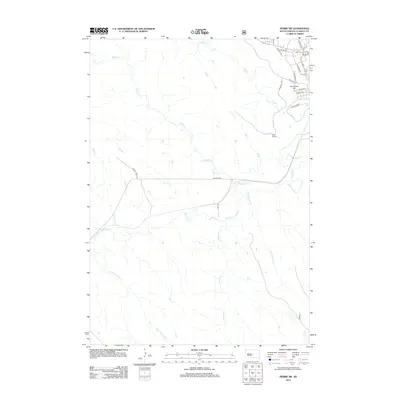
2012 Map of Pierre SW
USGS Topo · Published 2012About this map
Verendrye Hill and the western outskirts of the city of Fort Pierre define the northeastern corner of this South Dakota landscape, where the Missouri River's influence gives way to the high plains. The drainage network is the dominant feature of this terrain, with the Bad River carving a wide path across the center of the sheet. Numerous tributaries including Willow Cr, Porcupine Cr, and Gray Blanket Cr flow toward this central artery, illustrating the complex hydrology of the region.
Find a feature on this map
24 named features on this map. Tap any name to fly to it.
Don’t see what you’re looking for? This feature index may not catch every label — zoom into the map to look around manually.
Map Details
Editions of this 2012 Pierre SW Map
This is the sole edition of this map. No revisions or reprints were ever made.
Other maps of this area
1924 · Pierre
USGS Topo · 1:62,500
1937 · Oahe
USGS Topo · 1:62,500
1953 · Teton
USGS Topo · 1:24,000
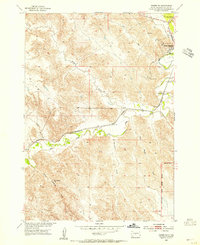
1953 · Pierre SW
USGS Topo · 1:24,000
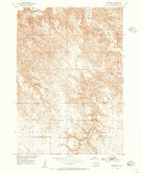
1953 · Wendte NE
USGS Topo · 1:24,000
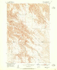
1953 · Pierre 3 NW
USGS Topo · 1:24,000
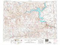
1954 · Pierre
USGS Topo · 1:250,000
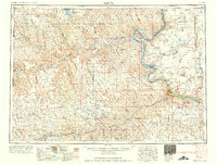
1958 · Pierre
USGS Topo · 1:250,000
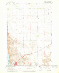
1967 · Pierre NE
USGS Topo · 1:24,000
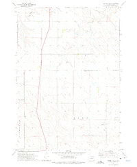
1972 · Pierre 3 NE
USGS Topo · 1:24,000