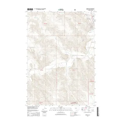
2015 Map of Pierre SW
USGS Topo · Published 2015About this map
Fort Pierre sits at the confluence of the Bad River and the Missouri, though this survey focuses on the landscape immediately southwest of the settlement. The town's western edge is marked by notable elevations such as Verendrye Hill and Cedar Hill, which overlook a network of meandering waterways including Willow Cr and Gray Blanket Cr. The southern portion of the map is dominated by the Ft. Pierre National Grassland, a protected expanse that preserves the native prairie character of Stanley County. The rural transport network follows the river valley, with Bad River Rd providing access to the rugged draws and creek beds that feed into the main waterway. Local researchers can identify land divisions and topography near a small Cem and trace the paths of seasonal streams like Yellow Shoulder Cr and Porcupine Cr as they cut through the plateau towards the river.
Find a feature on this map
35 named features on this map. Tap any name to fly to it.
Don’t see what you’re looking for? This feature index may not catch every label — zoom into the map to look around manually.
Map Details
Editions of this 2015 Pierre SW Map
This is the sole edition of this map. No revisions or reprints were ever made.
Other maps of this area
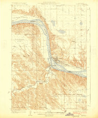
1924 · Pierre
USGS Topo · 1:62,500
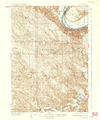
1937 · Oahe
USGS Topo · 1:62,500
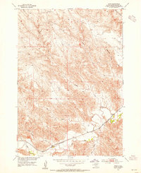
1953 · Teton
USGS Topo · 1:24,000
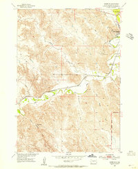
1953 · Pierre SW
USGS Topo · 1:24,000
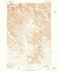
1953 · Wendte NE
USGS Topo · 1:24,000
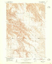
1953 · Pierre 3 NW
USGS Topo · 1:24,000
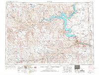
1954 · Pierre
USGS Topo · 1:250,000
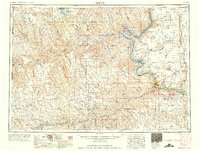
1958 · Pierre
USGS Topo · 1:250,000
1967 · Pierre NE
USGS Topo · 1:24,000
1972 · Pierre 3 NE
USGS Topo · 1:24,000