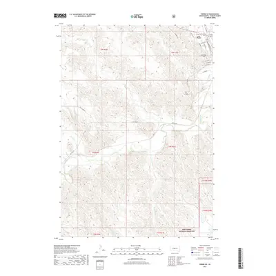
2017 Map of Pierre SW
USGS Topo · Published 2017About this map
Fort Pierre serves as the focal point of this landscape, situated at the confluence of the Bad River and the Missouri River corridor. The town's historic footprint is anchored by Verendrye Hill and a street grid that includes Deadwood St and Stanley Ave, reflecting its role as a regional hub. South and west of the settlement, the terrain transitions into a series of drainage basins, where Willow Cr, Powell Cr, and Porcupine Cr carve through the high plains.
Find a feature on this map
35 named features on this map. Tap any name to fly to it.
Don’t see what you’re looking for? This feature index may not catch every label — zoom into the map to look around manually.
Map Details
Editions of this 2017 Pierre SW Map
This is the sole edition of this map. No revisions or reprints were ever made.
Other maps of this area
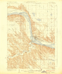
1924 · Pierre
USGS Topo · 1:62,500
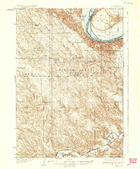
1937 · Oahe
USGS Topo · 1:62,500
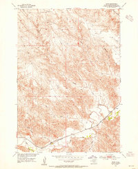
1953 · Teton
USGS Topo · 1:24,000
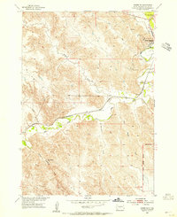
1953 · Pierre SW
USGS Topo · 1:24,000
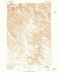
1953 · Wendte NE
USGS Topo · 1:24,000
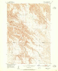
1953 · Pierre 3 NW
USGS Topo · 1:24,000
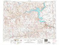
1954 · Pierre
USGS Topo · 1:250,000
1958 · Pierre
USGS Topo · 1:250,000
1967 · Pierre NE
USGS Topo · 1:24,000
1972 · Pierre 3 NE
USGS Topo · 1:24,000