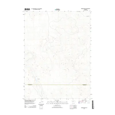
2014 Map of Pierson Ranch
USGS Topo · Published 2014About this map
Pierson Ranch serves as a primary landmark in this ranching landscape straddling the line between Lincoln and McPherson counties. The terrain is defined by the hydrologic patterns of the N Fork Birdwood Cr, which cuts across the central and southern portions of the map. This 2014 survey documents the enduring pastoral character of the Sandhills region, where human settlement is sparse and centered on established cattle operations. Transportation is limited to functional ranching routes such as Griffith Rd in the northeast, reflecting the area's specialized agricultural focus. The boundary between McPherson Co and Lincoln Co marks a significant administrative divide through these high plains, providing a precise spatial context for land ownership and local genealogy in this portion of Nebraska.
Find a feature on this map
4 named features on this map. Tap any name to fly to it.
Don’t see what you’re looking for? This feature index may not catch every label — zoom into the map to look around manually.
Map Details
Editions of this 2014 Pierson Ranch Map
This is the sole edition of this map. No revisions or reprints were ever made.
Other maps of this area
1898 · Paxton
USGS Topo · 1:125,000
1899 · North Platte
USGS Topo · 1:125,000
1901 · Paxton
USGS Topo · 1:125,000
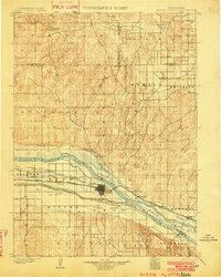
1902 · North Platte
USGS Topo · 1:125,000
1949 · Wright Valley
USGS Topo · 1:62,500
1951 · Tryon
USGS Topo · 1:62,500
1951 · Wright Valley
USGS Topo · 1:62,500

1954 · North Platte
USGS Topo · 1:250,000

1956 · North Platte
USGS Topo · 1:250,000

1957 · North Platte
USGS Topo · 1:250,000