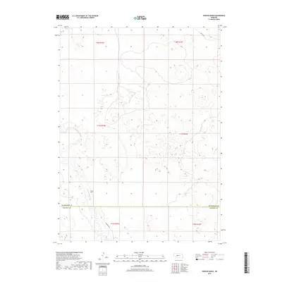
2017 Map of Pierson Ranch
USGS Topo · Published 2017About this map
Pierson Ranch stands as the primary landmark in this ranchland region on the border of McPherson and Lincoln counties. The landscape is defined by the winding course of the N Fork Birdwood Cr, which cuts through the undulating sandhills of western Nebraska. Settlement is sparse, represented by a grid of township lines including t17n r33w and t16n r33w, reflecting the vast agricultural and pastoral nature of the Sandhills. Transport through this remote country is limited to a few arterial paths like N Birdwood Rd and Griffith Rd, which follow the natural contours of the drainage basin. This survey provides a precise look at the rural boundary between McPherson and Lincoln counties, showing how water resources and section lines dictated the layout of private holdings in the early twenty-first century.
Find a feature on this map
11 named features on this map. Tap any name to fly to it.
Don’t see what you’re looking for? This feature index may not catch every label — zoom into the map to look around manually.
Map Details
Editions of this 2017 Pierson Ranch Map
This is the sole edition of this map. No revisions or reprints were ever made.
Other maps of this area
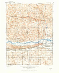
1898 · Paxton
USGS Topo · 1:125,000
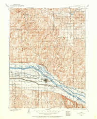
1899 · North Platte
USGS Topo · 1:125,000
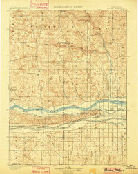
1901 · Paxton
USGS Topo · 1:125,000
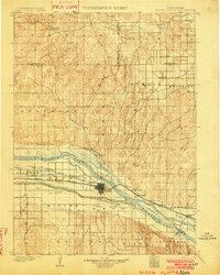
1902 · North Platte
USGS Topo · 1:125,000
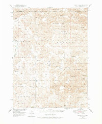
1949 · Wright Valley
USGS Topo · 1:62,500
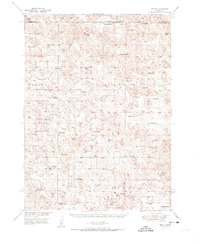
1951 · Tryon
USGS Topo · 1:62,500
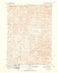
1951 · Wright Valley
USGS Topo · 1:62,500

1954 · North Platte
USGS Topo · 1:250,000

1956 · North Platte
USGS Topo · 1:250,000

1957 · North Platte
USGS Topo · 1:250,000