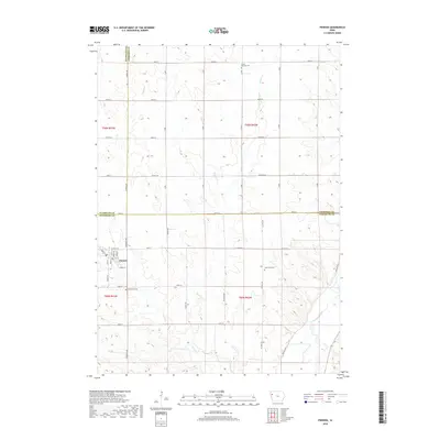
2018 Map of Pierson
USGS Topo · Published 2018About this map
Pierson serves as the central hub of this agricultural landscape, where a grid of streets including Main St, Front St, and Summit St defines the town's core. The surrounding countryside is marked by the meeting of three counties—Plymouth, Woodbury, and Cherokee—creating a unique jurisdictional intersection for local researchers. The terrain is drained by several watercourses, most notably Buffalo Cr and Pierson Cr, which eventually flow toward the Little Sioux River in the southeastern corner. This modern survey captures the enduring rural character of northwestern Iowa, where large section blocks are punctuated by scattered family burial grounds like Grand Meadow Cem and Good Hope Cem, reflecting generations of settlement along the county lines.
Find a feature on this map
34 named features on this map. Tap any name to fly to it.
Don’t see what you’re looking for? This feature index may not catch every label — zoom into the map to look around manually.
Map Details
Editions of this 2018 Pierson Map
This is the sole edition of this map. No revisions or reprints were ever made.
Other maps of this area

1954 · Fort Dodge
USGS Topo · 1:250,000
1957 · Fort Dodge
USGS Topo · 1:250,000
1958 · Fort Dodge
USGS Topo · 1:250,000
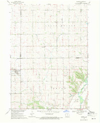
1969 · Pierson
USGS Topo · 1:24,000
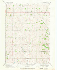
1969 · Correctionville NW
USGS Topo · 1:24,000
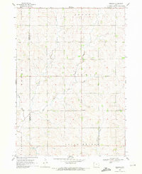
1969 · Fielding
USGS Topo · 1:24,000
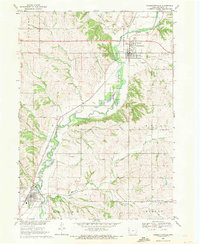
1969 · Correctionville
USGS Topo · 1:24,000
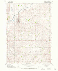
1969 · Kingsley
USGS Topo · 1:24,000
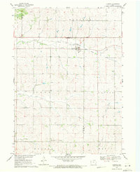
1969 · Cushing
USGS Topo · 1:24,000
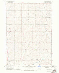
1969 · Kingsley NW
USGS Topo · 1:24,000