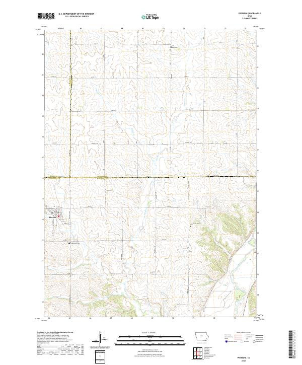
2022 Map of Pierson
USGS Topo · Published 2022About this map
The town of Pierson anchors this northwest Iowa landscape at the convergence of three counties: Plymouth, Cherokee, and Woodbury. This modern topographical record shows a highly organized grid of rural roads and section lines that defines the agricultural character of the region. The drainage patterns of Buffalo Cr and Pierson Cr carve gentle valleys through the terrain, eventually feeding toward the Little Sioux River in the southeastern corner.
Find a feature on this map
39 named features on this map. Tap any name to fly to it.
Don’t see what you’re looking for? This feature index may not catch every label — zoom into the map to look around manually.
Map Details
Editions of this 2022 Pierson Map
This is the sole edition of this map. No revisions or reprints were ever made.
Other maps of this area

1954 · Fort Dodge
USGS Topo · 1:250,000

1957 · Fort Dodge
USGS Topo · 1:250,000

1958 · Fort Dodge
USGS Topo · 1:250,000

1969 · Pierson
USGS Topo · 1:24,000

1969 · Correctionville NW
USGS Topo · 1:24,000

1969 · Fielding
USGS Topo · 1:24,000

1969 · Correctionville
USGS Topo · 1:24,000
1969 · Kingsley
USGS Topo · 1:24,000

1969 · Cushing
USGS Topo · 1:24,000
1969 · Kingsley NW
USGS Topo · 1:24,000