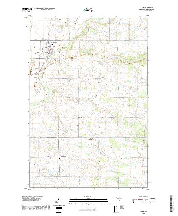
2022 Map of Pierz
USGS Topo · Published 2022About this map
Pierz and the nearby village of Genola anchor the northern landscape of this Morrison County survey, where the Soo Line South: Morrison Trl marks a significant former rail corridor cutting east-to-west across the terrain. This area is defined by a dense network of small waterways and wetlands, including the Skunk River, Hillman Cr, and Mischke Cr, which drain toward the south and west. To the south, the settlement of Buckman sits amidst a pattern of section-line roads and family farmstead sites.
Find a feature on this map
63 named features on this map. Tap any name to fly to it.
Don’t see what you’re looking for? This feature index may not catch every label — zoom into the map to look around manually.
Map Details
Editions of this 2022 Pierz Map
This is the sole edition of this map. No revisions or reprints were ever made.
Other maps of this area

1948 · Pierz
USGS Topo · 1:62,500

1948 · Lastrup
USGS Topo · 1:62,500

1950 · Lastrup
USGS Topo · 1:62,500

1950 · Pierz
USGS Topo · 1:62,500

1953 · Duluth
USGS Topo · 1:250,000

1953 · Brainerd
USGS Topo · 1:250,000

1953 · Saint Cloud
USGS Topo · 1:250,000

1953 · Stillwater
USGS Topo · 1:250,000

1955 · Stillwater
USGS Topo · 1:250,000

1957 · Brainerd
USGS Topo · 1:250,000