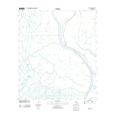
2012 Map of Pigeon
USGS Topo · Published 2012About this map
Pigeon and its surrounding wetlands occupy a landscape defined by an intricate network of waterways in the early 21st century. The Lower Grand River serves as a primary corridor through this Iberville Parish terrain, bordered by roads such as Bayou Pigeon RD and Land Lrd. The map reveals a specialized industrial footprint amidst the swamp, where the North Bayou Pigeon Oil Field and East Bayou Pigeon Gas Field indicate the significance of petroleum extraction in the region.
Find a feature on this map
22 named features on this map. Tap any name to fly to it.
Don’t see what you’re looking for? This feature index may not catch every label — zoom into the map to look around manually.
Map Details
Editions of this 2012 Pigeon Map
This is the sole edition of this map. No revisions or reprints were ever made.
Other maps of this area

1935 · Chicot Lake
USGS Topo · 1:62,500

1936 · White Castle
USGS Topo · 1:62,500

1945 · New Orleans
USGS Topo · 1:250,000

1948 · Foster
USGS Topo · 1:62,500

1953 · Napoleonville
USGS Topo · 1:62,500

1953 · Crescent
USGS Topo · 1:24,000

1953 · Pigeon Bay
USGS Topo · 1:24,000
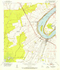
1953 · White Castle
USGS Topo · 1:24,000

1954 · Chicot Lake
USGS Topo · 1:62,500

1954 · Baton Rouge
USGS Topo · 1:250,000