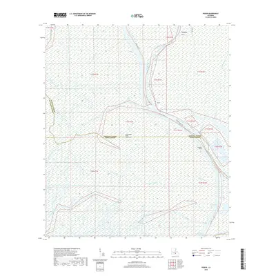
2018 Map of Pigeon
USGS Topo · Published 2018About this map
The Atchafalaya Basin Floodway dominates this terrain, where a complex network of bayous and wetlands defines the landscape. The settlement of Pigeon sits along the Lower Grand River, serving as a central point in a region where water management and navigation are paramount. The map illustrates the convergence of natural waterways like Bayou Teche and Big Bayou Pigeon with modern engineering, most notably the Intracoastal Waterway and the Gulf Intracoastal Waterway in the southern reaches. This intersection of the basin's drainage systems and industrial shipping lanes reflects the dual nature of Iberville Parish as both a wilderness floodway and a critical transit corridor. Researchers can observe how local roads like Bayou Pigeon Rd and La 997 provide limited terrestrial access through the dense wetlands toward Pumpkin Point.
Find a feature on this map
30 named features on this map. Tap any name to fly to it.
Don’t see what you’re looking for? This feature index may not catch every label — zoom into the map to look around manually.
Map Details
Editions of this 2018 Pigeon Map
This is the sole edition of this map. No revisions or reprints were ever made.
Other maps of this area
1935 · Chicot Lake
USGS Topo · 1:62,500
1936 · White Castle
USGS Topo · 1:62,500
1945 · New Orleans
USGS Topo · 1:250,000
1948 · Foster
USGS Topo · 1:62,500
1953 · Napoleonville
USGS Topo · 1:62,500
1953 · Crescent
USGS Topo · 1:24,000
1953 · Pigeon Bay
USGS Topo · 1:24,000
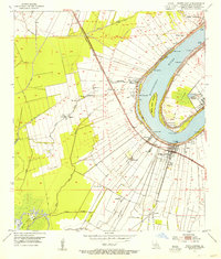
1953 · White Castle
USGS Topo · 1:24,000
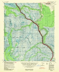
1954 · Chicot Lake
USGS Topo · 1:62,500
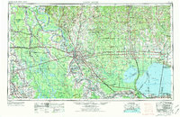
1954 · Baton Rouge
USGS Topo · 1:250,000