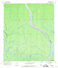
1969 Map of Pigeon
USGS Topo · Published 1971About this map
The Atchafalaya Basin Floodway dominates this landscape, illustrating the complex water management systems of southern Louisiana in the late 1960s. The settlement of Pigeon serves as a focal point along the Lower Grand River, where the Bayou Pigeon Mission and St Joan of Arc Ch anchor the community. The infrastructure here is defined by the Intracoastal Waterway and the East Protection Levee, which separate the inhabited areas from the sprawling marshlands and bayous. A network of industrial Canals and Pipelines cuts through the wetlands, supporting a series of Drill Holes and a Gas Field. Notable natural features include Lake Natchez, Pumkin Point, and the winding Chopin Chute. This survey captures a moment when traditional river life at the Public Landing coexisted with modern energy extraction and flood control engineering.
Find a feature on this map
35 named features on this map. Tap any name to fly to it.
Don’t see what you’re looking for? This feature index may not catch every label — zoom into the map to look around manually.
Map Details
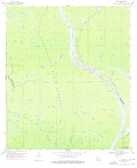
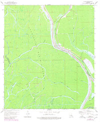
Editions of this 1969 Pigeon Map
3 editions found
Other maps of this area

1935 · Chicot Lake
USGS Topo · 1:62,500

1936 · White Castle
USGS Topo · 1:62,500

1945 · New Orleans
USGS Topo · 1:250,000

1948 · Foster
USGS Topo · 1:62,500

1953 · Napoleonville
USGS Topo · 1:62,500

1953 · Crescent
USGS Topo · 1:24,000

1953 · Pigeon Bay
USGS Topo · 1:24,000
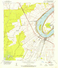
1953 · White Castle
USGS Topo · 1:24,000

1954 · Chicot Lake
USGS Topo · 1:62,500

1954 · Baton Rouge
USGS Topo · 1:250,000