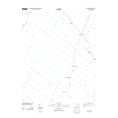
2013 Map of Pike Road
USGS Topo · Published 2013About this map
Pike Road and its surrounding landscape reflect the highly engineered drainage systems of Beaufort County, defined by a rigid grid of agricultural canals such as Number Three Canal and the Oregon Canal. This 2013 survey shows the persistent influence of former rail lines on the local geography, with locations like Sixth Siding, Johnson Siding, and Sixteen Mile Siding marking points along the Railroad Bed Rd. These sidings, once vital for moving timber or crops, remain as key identifiers in a rural area characterized by large-scale farming and swamp management. Local commerce and infrastructure are anchored by Morrisons Store and aviation facilities like Donald's Air Park Inc. To the northwest, the Van Swamp Bridge and Tareover Bridge provide crossing points for travelers navigating the wet terrain, while the settlement of Wenona sits at a crossroads of these historic drainage and transit corridors.
Find a feature on this map
30 named features on this map. Tap any name to fly to it.
Don’t see what you’re looking for? This feature index may not catch every label — zoom into the map to look around manually.
Map Details
Editions of this 2013 Pike Road Map
This is the sole edition of this map. No revisions or reprints were ever made.
Other maps of this area

1914 · Belhaven
USGS Topo · 1:48,000

1916 · Belhaven
USGS Topo · 1:62,500

1943 · Plymouth
USGS Topo · 1:125,000

1950 · Pinetown
USGS Topo · 1:24,000

1951 · Belhaven
USGS Topo · 1:24,000

1951 · Pantego
USGS Topo · 1:24,000

1953 · Rocky Mount
USGS Topo · 1:250,000

1954 · Rocky Mount
USGS Topo · 1:250,000

1954 · Plymouth East
USGS Topo · 1:24,000

1954 · Roper South
USGS Topo · 1:24,000