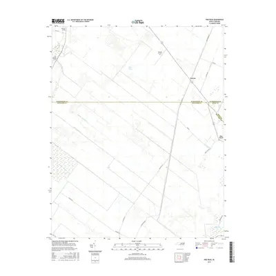
2016 Map of Pike Road
USGS Topo · Published 2016About this map
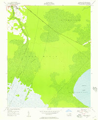
The low-lying coastal plains of eastern North Carolina define this landscape, where the borders of Washington, Beaufort, and Hyde counties converge. At the center of this drainage-focused geography is the community of Wenona, situated near the massive expanse of the East Dismal Swamp. The area is defined by a systematic grid of man-made waterways, including the Number 2 Canal, Number Three Canal, and Oregon Canal, which were engineered to reclaim and manage these wetlands for agricultural and residential use.
Find a feature on this map
27 named features on this map. Tap any name to fly to it.
Don’t see what you’re looking for? This feature index may not catch every label — zoom into the map to look around manually.
Map Details
Editions of this 2016 Pike Road Map
This is the sole edition of this map. No revisions or reprints were ever made.
Other maps of this area
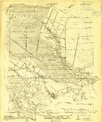
1914 · Belhaven
USGS Topo · 1:48,000
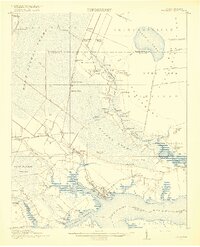
1916 · Belhaven
USGS Topo · 1:62,500
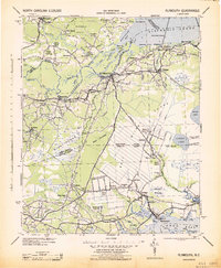
1943 · Plymouth
USGS Topo · 1:125,000
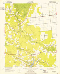
1950 · Pinetown
USGS Topo · 1:24,000
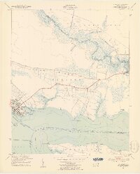
1951 · Belhaven
USGS Topo · 1:24,000
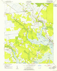
1951 · Pantego
USGS Topo · 1:24,000

1953 · Rocky Mount
USGS Topo · 1:250,000

1954 · Rocky Mount
USGS Topo · 1:250,000
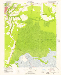
1954 · Plymouth East
USGS Topo · 1:24,000
1954 · Roper South
USGS Topo · 1:24,000