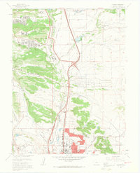
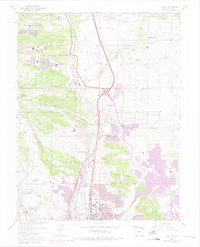
1961 Map of Pikeview
USGS Topo · Published 1963About this map
The United States Air Force Academy dominates the northern reaches of this El Paso County landscape, appearing here during a period of significant regional expansion. The map details the institutional growth along the foothills, featuring the Douglas Valley Sch, Pine Valley Sch, and the Air Force Academy High Sch Jr High Sch. To the south, the city of Colorado Springs begins to press northward, its urban grid meeting the varied terrain of Austin Bluffs and The Mesa.
Find a feature on this map
59 named features on this map. Tap any name to fly to it.
Don’t see what you’re looking for? This feature index may not catch every label — zoom into the map to look around manually.
Map Details
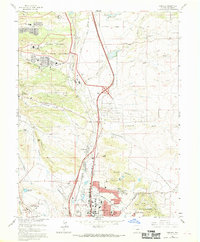
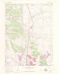
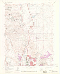
Editions of this 1961 Pikeview Map
5 editions found
Other maps of this area

1893 · Colorado Springs
USGS Topo · 1:125,000

1894 · Castle Rock
USGS Topo · 1:125,000

1909 · Colorado Springs
USGS Topo · 1:125,000

1913 · Castle Rock
USGS Topo · 1:125,000

1940 · Elbert
USGS Topo · 1:62,500

1942 · Colorado Springs
USGS Topo · 1:125,000

1944 · Elbert
USGS Topo · 1:62,500

1948 · Manitou Springs
USGS Topo · 1:24,000

1948 · Colorado Springs
USGS Topo · 1:62,500

1948 · Pikeview
USGS Topo · 1:24,000
Featured Places
- Colorado Springs, CO
- Pikeview, Colorado Springs
- Papeton, Colorado Springs
- El Paso County, CO
- United States