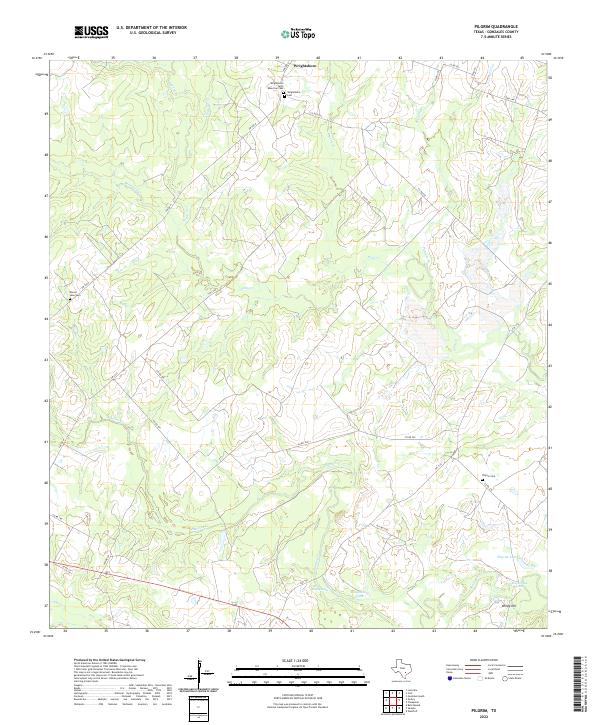
2022 Map of Pilgrim
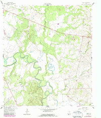
USGS Topo · Published 2022This historical map portrays the area of Pilgrim in 2022, primarily covering Gonzales County. Featuring a scale of 1:24000, this map provides a highly detailed snapshot of the terrain, roads, buildings, counties, and historical landmarks in the Pilgrim region at the time. Published in 2022, it is the sole known edition of this map.
Map Details
Editions of this 2022 Pilgrim Map
This is the sole edition of this map. No revisions or reprints were ever made.
Historical Maps of Wrightsboro Through Time
27 maps found
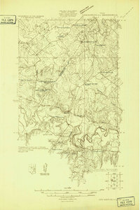
1925 San Marcos 4-c
Gonzales County, TX
1959 Cost
Gonzales County, TX
1959 Gonzales South
Gonzales County, TX
1959 Hamon
Gonzales County, TX
1959 Ottine
Gonzales County, TX
1960 Cheapside
Gonzales County, TX
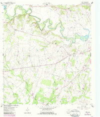
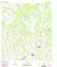
1961 Pilgrim
Gonzales County, TX
1961 Sample
Gonzales County, TX
1962 Dilworth
Gonzales County, TX
1962 Gonzales North
Gonzales County, TX
1962 Leesville
Gonzales County, TX
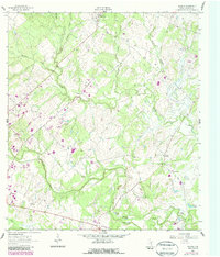
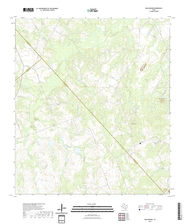
1963 Bald Mound
Gonzales County, TX
1964 Belmont
Gonzales County, TX
1964 Sandy Fork
Gonzales County, TX
2022 Bald Mound
Gonzales County, TX
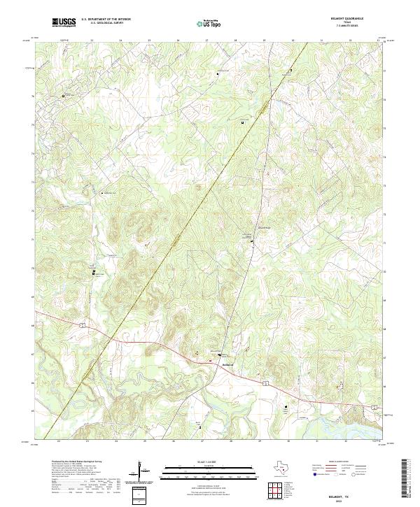
2022 Belmont
Gonzales County, TX
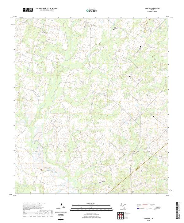
2022 Cheapside
Gonzales County, TX
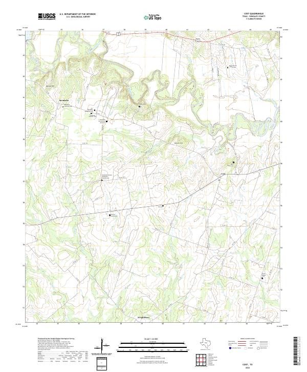
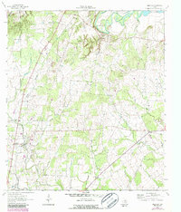
2022 Cost
Gonzales County, TX
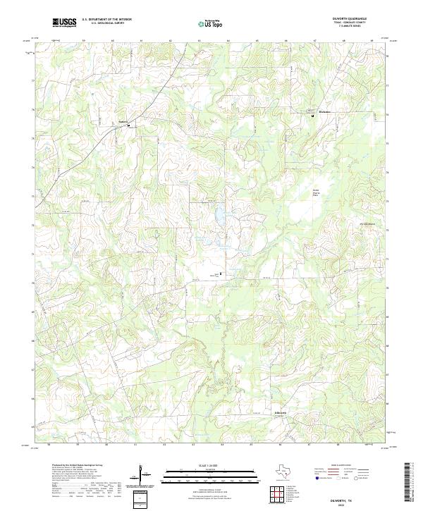
2022 Dilworth
Gonzales County, TX
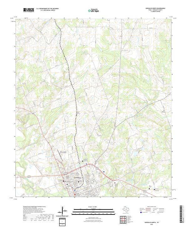
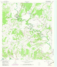
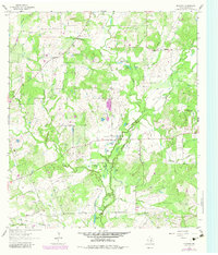
2022 Gonzales North
Gonzales County, TX
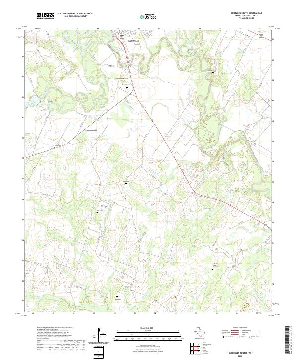
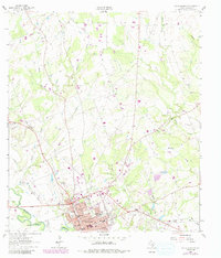
2022 Gonzales South
Gonzales County, TX
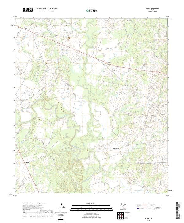
2022 Hamon
Gonzales County, TX
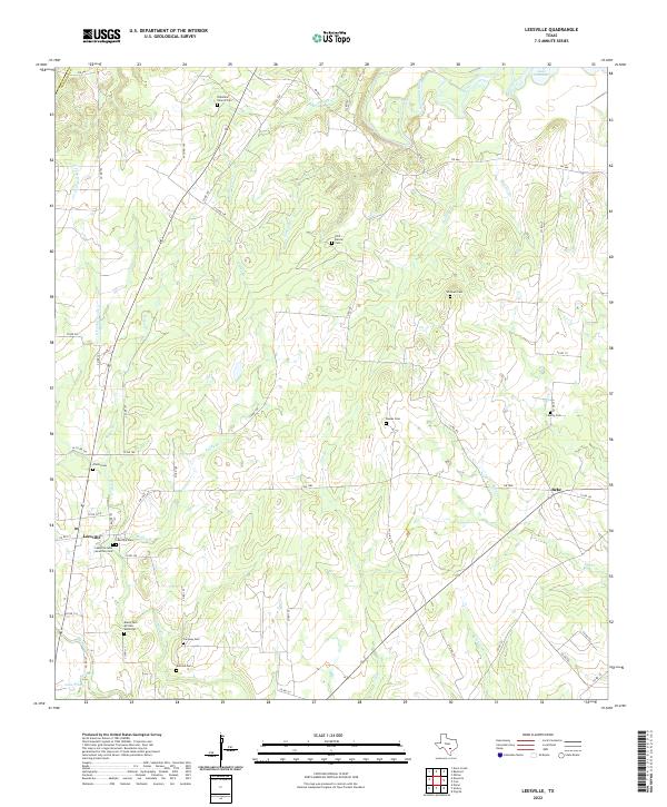
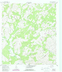
2022 Leesville
Gonzales County, TX
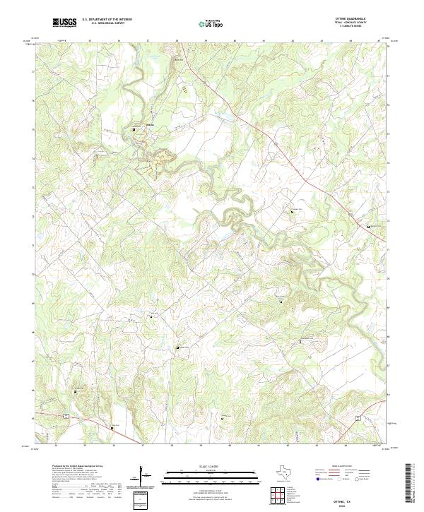
2022 Ottine
Gonzales County, TX
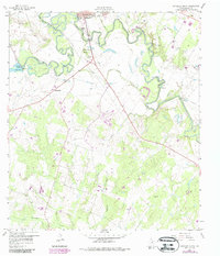
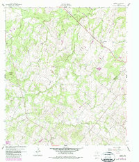
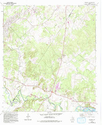
2022 Pilgrim
Gonzales County, TX
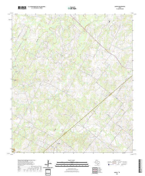
2022 Sample
Gonzales County, TX
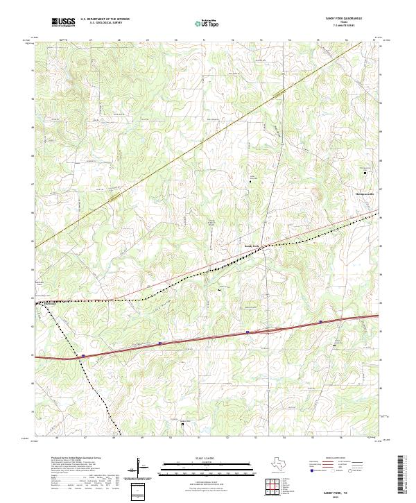
2022 Sandy Fork
Gonzales County, TX