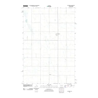
2011 Map of Pillsbury
USGS Topo · Published 2011About this map
The small community of Pillsbury serves as the focal point of this Barnes County landscape, situated amidst a grid of section-line roads and scattered prairie wetlands. The town's layout is defined by its connection to the rail corridor along Railroad Ave and the central intersection of Main St and 3rd Ave. This 2011 survey documents the quiet, rural character of eastern North Dakota, where large water bodies like Goose Lake interrupt the vast agricultural blocks. To the south, the Minnie Lake Cemetery remains a significant landmark for genealogical research, located along 19th St SE. The map illustrates the region's transport network, anchored by County Rd 4 and a series of numbered avenues and streets that facilitate movement across the low-lying terrain.
Find a feature on this map
17 named features on this map. Tap any name to fly to it.
Don’t see what you’re looking for? This feature index may not catch every label — zoom into the map to look around manually.
Map Details
Editions of this 2011 Pillsbury Map
This is the sole edition of this map. No revisions or reprints were ever made.
Other maps of this area

1952 · Grand Forks
USGS Topo · 1:250,000

1956 · Grand Forks
USGS Topo · 1:250,000

1966 · Grand Forks
USGS Topo · 1:250,000

1967 · Pillsbury SE
USGS Topo · 1:24,000
1967 · Pillsbury SW
USGS Topo · 1:24,000
1967 · Luverne
USGS Topo · 1:24,000
1967 · Pillsbury
USGS Topo · 1:24,000
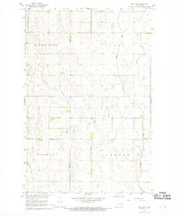
1967 · Page SW
USGS Topo · 1:24,000

1967 · Colgate
USGS Topo · 1:24,000
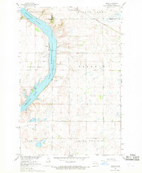
1967 · Sibley
USGS Topo · 1:24,000
Featured Places
- Pillsbury, ND
- Grand Prairie Township, ND
- Carpenter Township, ND
- Baldwin Township, ND
- Minnie Lake Township, ND