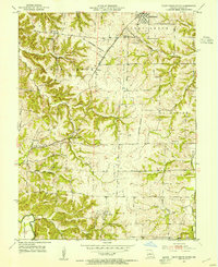
1953 Map of Pilot Grove South
USGS Topo · Published 1954About this map
The Missouri Kansas Texas railroad cuts a diagonal path across this rural Cooper County landscape, connecting the northern hub of Pilot Grove with the community of Pleasant Green. The topography is defined by the drainage systems of the Lamine River in the southwest and the Petite Saline Creek in the east, which carve numerous hollows including Skull Creek and Honey Creek. Small agricultural settlements like New Lebanon, Murphy, and Hoffman are anchored by local institutions such as St Pauls Ch, Wesley Chapel, and St Johns Sch. This 1950s survey preserves the network of country roads and farmsteads before significant modernization, offering a clear view of the township boundaries for Pilot Grove, Clear Creek, Palestine, and Lebanon.
Find a feature on this map
29 named features on this map. Tap any name to fly to it.
Don’t see what you’re looking for? This feature index may not catch every label — zoom into the map to look around manually.
Map Details
Editions of this 1953 Pilot Grove South Map
3 editions found
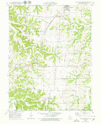
Other maps of this area

1887 · Sedalia
USGS Topo · 1:125,000

1888 · Boonville
USGS Topo · 1:125,000

1894 · Sedalia
USGS Topo · 1:125,000

1947 · Jefferson City
USGS Topo · 1:250,000

1952 · Tipton
USGS Topo · 1:24,000

1953 · Billingsville
USGS Topo · 1:24,000

1953 · Pilot Grove North
USGS Topo · 1:24,000

1953 · Pilot Grove South
USGS Topo · 1:24,000
1953 · Bunceton
USGS Topo · 1:24,000
1953 · Otterville East
USGS Topo · 1:24,000