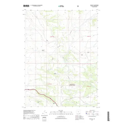
2017 Map of Pilot Hill
USGS Topo · Published 2017About this map
The high ridges of the Laramie Mountains dominate this landscape, where the southern reaches of the Medicine Bow National Forest provide a transition between open range and forest. The complex drainage network of the region is anchored by Horse Cr and S Lodgepole Cr, with several seasonal water sources such as Laycock Spring and Telephone Spring marking traditional points of interest for those navigating the high country.
Find a feature on this map
30 named features on this map. Tap any name to fly to it.
Don’t see what you’re looking for? This feature index may not catch every label — zoom into the map to look around manually.
Map Details
Editions of this 2017 Pilot Hill Map
This is the sole edition of this map. No revisions or reprints were ever made.
Other maps of this area

1895 · Laramie
USGS Topo · 1:125,000

1902 · Laramie
USGS Topo · 1:125,000

1905 · Sherman
USGS Topo · 1:125,000

1905 · Laramie
USGS Topo · 1:125,000

1906 · Laramie
USGS Topo · 1:125,000

1908 · Laramie
USGS Topo · 1:125,000

1948 · Sherman Mountains
USGS Topo · 1:62,500

1948 · Ragged Top Mountain
USGS Topo · 1:62,500

1950 · Ragged Top Mountain
USGS Topo · 1:62,500

1950 · Sherman Mountains
USGS Topo · 1:62,500