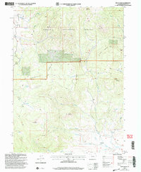
2000 Map of Pilot Knob
USGS Topo · Published 2004About this map
Routt National Forest dominates this high-altitude landscape, where industrial history meets complex geological formations. The southwestern quadrant is anchored by Pilot Knob, rising above the headwaters of Miller Creek. Traces of early 20th-century resource extraction are evident at the Block Mine and various scattered drill holes, suggesting a period of mineral exploration along Anthracite Ridge. The presence of the Deep Creek Cemetery near Deep Creek provides a genealogical touchstone for families connected to this remote mountain terrain.
Find a feature on this map
31 named features on this map. Tap any name to fly to it.
Don’t see what you’re looking for? This feature index may not catch every label — zoom into the map to look around manually.
Map Details
Editions of this 2000 Pilot Knob Map
This is the sole edition of this map. No revisions or reprints were ever made.
Other maps of this area

1911 · Hahns Peak
USGS Topo · 1:125,000

1913 · Hahns Peak
USGS Topo · 1:125,000

1923 · Pilot Knob
USGS Topo · 1:62,500

1925 · Pilot Knob
USGS Topo · 1:62,500

1954 · Craig
USGS Topo · 1:250,000

1957 · Craig
USGS Topo · 1:250,000

1958 · Craig
USGS Topo · 1:250,000

1960 · Craig
USGS Topo · 1:250,000

1962 · Craig
USGS Topo · 1:250,000
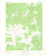
1962 · Hahns Peak
USGS Topo · 1:24,000