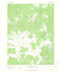
1962 Map of Hahns Peak
USGS Topo · Published 1964About this map
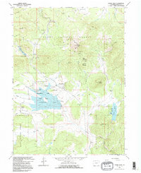
Mining operations and high-country ranching define this portion of the Routt National Forest during the early 1960s. The landscape is punctuated by numerous extraction sites, including the Master Key Mine, Royal Flush Mine, and the Blue Jay Mine, reflecting a long history of mineral exploration in the region. The settlement of Hahns Peak sits at the center of the sheet, overlooked by the Hahns Peak Lookout Tower atop its namesake summit.
Find a feature on this map
43 named features on this map. Tap any name to fly to it.
Don’t see what you’re looking for? This feature index may not catch every label — zoom into the map to look around manually.
Map Details
Editions of this 1962 Hahns Peak Map
5 editions found
Other maps of this area

1911 · Hahns Peak
USGS Topo · 1:125,000

1913 · Hahns Peak
USGS Topo · 1:125,000

1923 · Pilot Knob
USGS Topo · 1:62,500

1925 · Pilot Knob
USGS Topo · 1:62,500

1954 · Craig
USGS Topo · 1:250,000

1957 · Craig
USGS Topo · 1:250,000

1958 · Craig
USGS Topo · 1:250,000

1960 · Craig
USGS Topo · 1:250,000

1962 · Craig
USGS Topo · 1:250,000
1962 · West Fork Lake
USGS Topo · 1:24,000