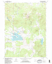
1962 Map of Hahns Peak
USGS Topo · Published 1996About this map
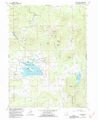
Mining operations and high-country ranching define this portion of the Routt National Forest as it appeared in the early 1960s. The landscape is dominated by the volcanic cone of Hahns Peak, with several historic claims clustered around its slopes, including the Royal Flush Mine, Tom Thumb Mine, and Iron Springs Mine. These workings, along with a Placer Mine in Ways Gulch, highlight the area's rich prospecting history. Settlement is sparse, anchored by the community of Columbine and the Hahns Peak township.
Find a feature on this map
47 named features on this map. Tap any name to fly to it.
Don’t see what you’re looking for? This feature index may not catch every label — zoom into the map to look around manually.
Map Details
Editions of this 1962 Hahns Peak Map
5 editions found
Other maps of this area

1911 · Hahns Peak
USGS Topo · 1:125,000

1913 · Hahns Peak
USGS Topo · 1:125,000

1923 · Pilot Knob
USGS Topo · 1:62,500

1925 · Pilot Knob
USGS Topo · 1:62,500

1954 · Craig
USGS Topo · 1:250,000

1957 · Craig
USGS Topo · 1:250,000

1958 · Craig
USGS Topo · 1:250,000

1960 · Craig
USGS Topo · 1:250,000

1962 · Craig
USGS Topo · 1:250,000
1962 · West Fork Lake
USGS Topo · 1:24,000