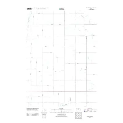
2013 Map of Pilot Knob
USGS Topo · Published 2013About this map
Pilot Knob rises as a prominent landmark in this section of north-central Iowa, overlooking a landscape defined by its complex hydrology and the precise grid of 21st-century agricultural development. The terrain is marked by the winding courses of the Winnebago River, Beaver Cr, and Bear Cr, which meander through the prairie lands. This 2013 survey illustrates the modernization of Iowa's drainage systems, notably featuring Drainage Ditch Number 54, a testament to the engineering required to manage the state's rich farmland. Near the southern edge, the secluded Pilot Knob Lake sits adjacent to its namesake elevation, accessed via Oakridge Valley Rd. The map documents a sparsely populated but highly organized rural area, where long-established section lines are reflected in the road network of numbered avenues and streets.
Find a feature on this map
40 named features on this map. Tap any name to fly to it.
Don’t see what you’re looking for? This feature index may not catch every label — zoom into the map to look around manually.
Map Details
Editions of this 2013 Pilot Knob Map
This is the sole edition of this map. No revisions or reprints were ever made.
Other maps of this area

1954 · Mason City
USGS Topo · 1:250,000

1957 · Mason City
USGS Topo · 1:250,000

1958 · Mason City
USGS Topo · 1:250,000

1972 · Clear Lake West
USGS Topo · 1:24,000

1972 · Forest City
USGS Topo · 1:24,000

1972 · Fertile
USGS Topo · 1:24,000

1972 · Hayfield
USGS Topo · 1:24,000

1972 · Bristol
USGS Topo · 1:24,000

1972 · Pilot Knob
USGS Topo · 1:24,000

1972 · Vinje
USGS Topo · 1:24,000