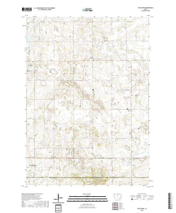
2022 Map of Pilot Knob
USGS Topo · Published 2022About this map
The glacial landscape south of Leland is defined by a complex network of wetlands and small waterways, including the meandering Winnebago River and Lime Creek. This area of northern Iowa features the prominent elevation of Pilot Knob, a distinctive landform that rises above the surrounding plains. The local geography is etched with the drainage patterns of Beaver Cr and Bear Cr, alongside human-engineered features like Drainage Ditch Number 54.
Find a feature on this map
48 named features on this map. Tap any name to fly to it.
Don’t see what you’re looking for? This feature index may not catch every label — zoom into the map to look around manually.
Map Details
Editions of this 2022 Pilot Knob Map
This is the sole edition of this map. No revisions or reprints were ever made.
Other maps of this area

1954 · Mason City
USGS Topo · 1:250,000

1957 · Mason City
USGS Topo · 1:250,000

1958 · Mason City
USGS Topo · 1:250,000

1972 · Clear Lake West
USGS Topo · 1:24,000

1972 · Forest City
USGS Topo · 1:24,000

1972 · Fertile
USGS Topo · 1:24,000

1972 · Hayfield
USGS Topo · 1:24,000

1972 · Bristol
USGS Topo · 1:24,000

1972 · Pilot Knob
USGS Topo · 1:24,000

1972 · Vinje
USGS Topo · 1:24,000