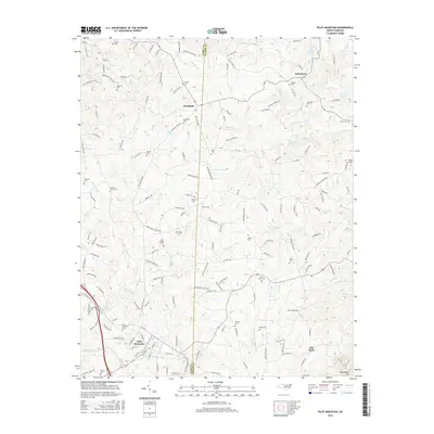
2016 Map of Pilot Mountain
USGS Topo · Published 2016About this map
Pilot Mountain serves as the focal point for this survey of the northern Piedmont, where the Surry and Stokes county line bisects a landscape of scattered rural settlements. Small family and community landmarks define the area's geography, including dozens of burial sites such as Pilot Mountain Cem, Brims Grove Cem, and Venable Cem. The terrain is characterized by the prominent Sauratown Mtn to the southeast and a dense network of watercourses like Toms Cr and the W Prong Little Yadkin River. Local industry and historical land use are noted through features like the Mica Pit near the eastern edge. Settlement patterns are focused around Westfield and Johnstown, connected by a web of named rural routes like Old Westfield Rd and Brown Mtn Rd.
Find a feature on this map
164 named features on this map. Tap any name to fly to it.
Don’t see what you’re looking for? This feature index may not catch every label — zoom into the map to look around manually.
Map Details
Editions of this 2016 Pilot Mountain Map
This is the sole edition of this map. No revisions or reprints were ever made.
Other maps of this area

1889 · Hillsville
USGS Topo · 1:125,000

1891 · Yadkinville
USGS Topo · 1:125,000

1892 · Hillsville
USGS Topo · 1:125,000

1893 · Yadkinville
USGS Topo · 1:125,000

1896 · Hillsville
USGS Topo · 1:125,000

1928 · Stuart
USGS Topo · 1:48,000

1931 · Stuart
USGS Topo · 1:62,500

1953 · Winston-Salem
USGS Topo · 1:250,000

1955 · Winston-Salem
USGS Topo · 1:250,000

1957 · Mount Airy
USGS Topo · 1:62,500