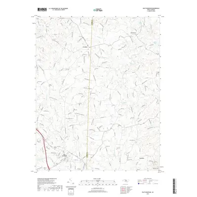
2019 Map of Pilot Mountain
USGS Topo · Published 2019About this map
Pilot Mountain serves as the focal point for this survey of the northern Piedmont, where the town limits meet the rising slopes of the Sauratown Mtn range. The landscape is characterized by a dense network of family-named roads and scattered rural cemeteries that reveal the deep-rooted settlement patterns of the Surry and Stokes county line. Waterways like the W Prong Little Yadkin River and Toms Cr wind through the region, supporting agricultural land around communities such as Westfield and Johnstown. Local industry and historical land use are evidenced by features like the Mica Pit near the eastern border and several religious landmarks including the Hills Presbyterian Church Rd. This map preserves the contemporary layout of these foothills communities, showing the proximity of quiet rural settlements to the prominent geological features that have long defined this part of North Carolina.
Find a feature on this map
138 named features on this map. Tap any name to fly to it.
Don’t see what you’re looking for? This feature index may not catch every label — zoom into the map to look around manually.
Map Details
Editions of this 2019 Pilot Mountain Map
This is the sole edition of this map. No revisions or reprints were ever made.
Other maps of this area

1889 · Hillsville
USGS Topo · 1:125,000

1891 · Yadkinville
USGS Topo · 1:125,000

1892 · Hillsville
USGS Topo · 1:125,000

1893 · Yadkinville
USGS Topo · 1:125,000

1896 · Hillsville
USGS Topo · 1:125,000

1928 · Stuart
USGS Topo · 1:48,000

1931 · Stuart
USGS Topo · 1:62,500

1953 · Winston-Salem
USGS Topo · 1:250,000

1955 · Winston-Salem
USGS Topo · 1:250,000

1957 · Mount Airy
USGS Topo · 1:62,500