Loading...
Loading map...2022 Map of Pilot Mountain
USGS Topo · Published 2022About this map
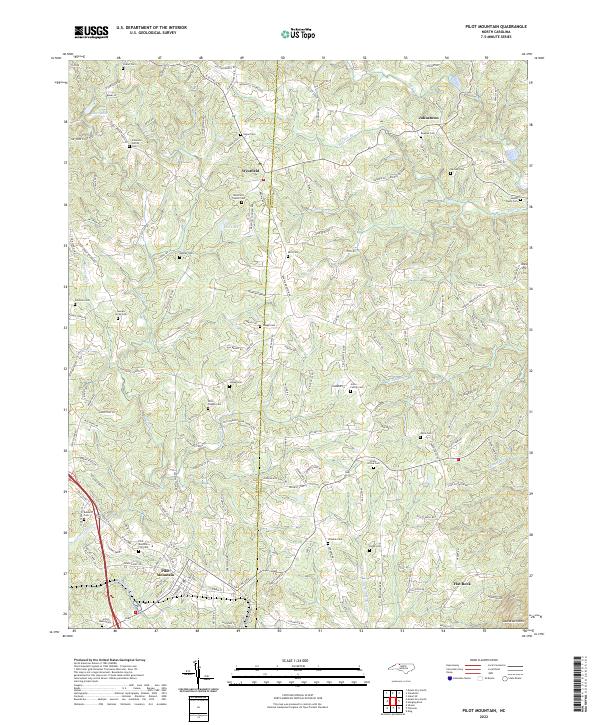
The Surry and Stokes county line bisects this Piedmont landscape, a region defined by its numerous family burial grounds and small agricultural settlements. The town of Pilot Mountain anchors the southwestern corner, while smaller crossroads like Westfield and Johnstown serve as local hubs for the surrounding farmsteads. The terrain is marked by the presence of Sauratown Mtn in the southeast and the waters of the W Prong Little Yadkin River.
Find a feature on this map
172 named features on this map. Tap any name to fly to it.
Don’t see what you’re looking for? This feature index may not catch every label — zoom into the map to look around manually.
Map Details
Date Portrayed2022
Date Published2022
PublisherU.S. Geological Survey
Map TypeTopographic
Scale1:24000
Physical Dimensions24 x 29 inches
Editions of this 2022 Pilot Mountain Map
This is the sole edition of this map. No revisions or reprints were ever made.
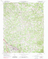
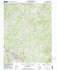
Historical Maps of Hills Grove Through Time
3 maps found
Featured Locations
Source Details
SourceU.S. Geological Survey
CopyrightPublic Domain