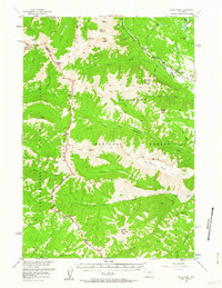
1956 Map of Pilot Peak
USGS Topo · Published 1963About this map
Index Peak and the iconic spire of Pilot Peak dominate this high-altitude landscape where the Absaroka National Forest and Shoshone National Forest meet the eastern boundary of Yellowstone National Park. This mid-century survey captures a wilderness defined by massive landforms like Hurricane Mesa and Amphitheater Mountain. Human presence is concentrated along the northeast corridor, where the Beartooth Highway follows the Clarks Fork Yellowstone River. Here, localized ranching and forest management are evident at the B Four Ranch, the RDS Ranch, and a designated Fire Cache. Extensive networks of named trails, such as the Papoose Trail and various Pack Trails, provide the only access into the interior drainage basins of Crandall Creek and North Fork Crandall Creek. The map serves as a vital record of the backcountry before modern expansion, preserving the locations of remote landmarks like Jim Smith Peak and Indian Peak.
Find a feature on this map
56 named features on this map. Tap any name to fly to it.
Don’t see what you’re looking for? This feature index may not catch every label — zoom into the map to look around manually.
Map Details
Editions of this 1956 Pilot Peak Map
3 editions found

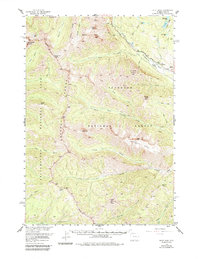
Other maps of this area

1886 · Canyon
USGS Topo · 1:125,000

1891 · Livingston
USGS Topo · 1:250,000

1893 · Livingston
USGS Topo · 1:250,000

1895 · Canyon
USGS Topo · 1:125,000

1896 · Canyon
USGS Topo · 1:125,000

1896 · Crandall Creek
USGS Topo · 1:125,000

1898 · Granite Mountain District
USGS Topo · 1:125,000

1899 · Crandall
USGS Topo · 1:125,000

1901 · Canyon
USGS Topo · 1:125,000

1907 · Canyon
USGS Topo · 1:125,000