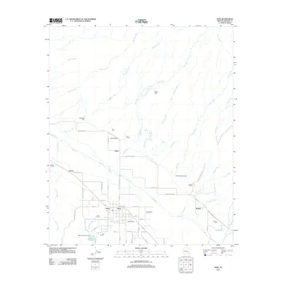
2011 Map of Pima
USGS Topo · Published 2011About this map
The Gila River corridor near the town of Pima reveals a landscape defined by its irrigation and agricultural history in the early 21st century. This survey documents the network of washes and canyons feeding into the Gila Valley, including Markham Wash, Peck Wash, and Billingsley Creek. The map provides significant genealogical value through its detailed labeling of numerous family and community burial sites, such as the Glenbar Cemetery, Bryce Cemetery, and Rogers Cemetery. Small settlements and named locales like Dublin, Bryce, and Kimball are anchored by the Pima Post Office, while the infrastructure of water management is visible in features like the Chesley-Wamslee Dam and Rogers Reservoir Dam. The transition from the rugged Rocky Flat to the developed agricultural plots south of the river illustrates the area's continued reliance on the local watershed.
Find a feature on this map
67 named features on this map. Tap any name to fly to it.
Don’t see what you’re looking for? This feature index may not catch every label — zoom into the map to look around manually.
Map Details
Editions of this 2011 Pima Map
This is the sole edition of this map. No revisions or reprints were ever made.
Other maps of this area

1954 · Silver City
USGS Topo · 1:250,000

1954 · Clifton
USGS Topo · 1:250,000

1957 · Clifton
USGS Topo · 1:250,000

1958 · Silver City
USGS Topo · 1:250,000

1958 · Clifton
USGS Topo · 1:250,000

1960 · Thatcher
USGS Topo · 1:62,500

1960 · Fort Thomas
USGS Topo · 1:62,500

1960 · Safford
USGS Topo · 1:62,500

1962 · Silver City
USGS Topo · 1:250,000

1962 · Clifton
USGS Topo · 1:250,000