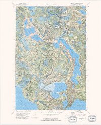
1972 Map of Pimushe Lake
USGS Topo · Published 1974About this map
Pimushe Lake and its intricate northern shorelines dominate this early 1970s orthophotomap, showing the landscape of northern Minnesota in high detail. The map highlights a complex intersection of public lands, including the Blackduck State Forest, Chippewa National Forest, and Buena Vista State Forest. These protected areas surround numerous water bodies like North Twin Lake, South Twin Lake, and Anderson Lake, which provided public access to the region's wilderness.
Find a feature on this map
28 named features on this map. Tap any name to fly to it.
Don’t see what you’re looking for? This feature index may not catch every label — zoom into the map to look around manually.
Map Details
Editions of this 1972 Pimushe Lake Map
2 editions found
Other maps of this area

1919 · Rosy
USGS Topo · 1:62,500

1954 · Bemidji
USGS Topo · 1:250,000

1957 · Bemidji
USGS Topo · 1:250,000

1958 · Bemidji
USGS Topo · 1:250,000

1971 · Gimmer Lake
USGS Topo · 1:24,000

1971 · Decker Lake
USGS Topo · 1:24,000

1971 · Pennington
USGS Topo · 1:24,000
1972 · Blackduck
USGS Topo · 1:24,000

1972 · Turtle River Lake
USGS Topo · 1:24,000
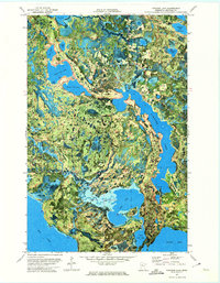
1972 · Pimushe Lake
USGS Topo · 1:24,000