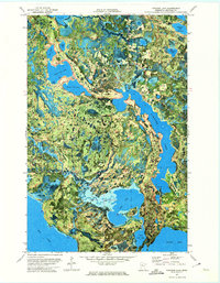
1972 Map of Pimushe Lake
USGS Topo · Published 1974About this map
Pimushe Lake and the dense water networks of Beltrami County define this landscape, where state and federal forest boundaries converge. This orthophotomap combines traditional topographic contour lines with high-altitude aerial photography, revealing the intricate glacial patchwork of the Blackduck State Forest and Chippewa National Forest. The transition between timberlands and wetlands is marked by the Indian Reservation Boundary and various public access points that highlight the area's role in northern Minnesota’s recreational and natural resource economy.
Find a feature on this map
30 named features on this map. Tap any name to fly to it.
Don’t see what you’re looking for? This feature index may not catch every label — zoom into the map to look around manually.
Map Details
Editions of this 1972 Pimushe Lake Map
2 editions found
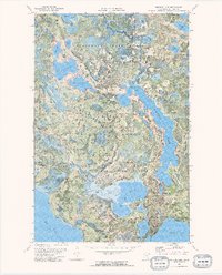
Other maps of this area

1919 · Rosy
USGS Topo · 1:62,500

1954 · Bemidji
USGS Topo · 1:250,000

1957 · Bemidji
USGS Topo · 1:250,000

1958 · Bemidji
USGS Topo · 1:250,000

1971 · Gimmer Lake
USGS Topo · 1:24,000

1971 · Decker Lake
USGS Topo · 1:24,000

1971 · Pennington
USGS Topo · 1:24,000
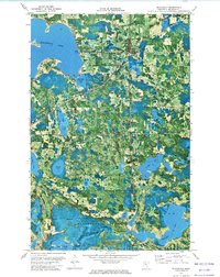
1972 · Blackduck
USGS Topo · 1:24,000

1972 · Turtle River Lake
USGS Topo · 1:24,000
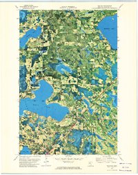
1972 · Tenstrike
USGS Topo · 1:24,000