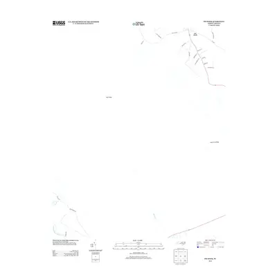
2013 Map of Pin Hook
USGS Topo · Published 2013About this map
Pin Hook sits in a corner of Duplin County where the landscape is defined by subtle rises and the proximity of the Northeast Cape Fear River. This 2013 survey reveals a rural network of family-named lanes and local connectors that branch off from major routes like Angola Bay Rd and Croomsbridge Rd. The terrain is characterized by slightly elevated features such as Blue Ridge and Long Straw Ridge, which stand out in this low-lying region of North Carolina.
Find a feature on this map
21 named features on this map. Tap any name to fly to it.
Don’t see what you’re looking for? This feature index may not catch every label — zoom into the map to look around manually.
Map Details
Editions of this 2013 Pin Hook Map
This is the sole edition of this map. No revisions or reprints were ever made.
Other maps of this area

1942 · Burgaw
USGS Topo · 1:62,500

1943 · Kenansville
USGS Topo · 1:62,500

1948 · Kenansville
USGS Topo · 1:62,500

1948 · Maple Hill
USGS Topo · 1:62,500

1948 · Richlands
USGS Topo · 1:62,500

1953 · Beaufort
USGS Topo · 1:250,000

1954 · Beaufort
USGS Topo · 1:250,000

1965 · Richlands
USGS Topo · 1:62,500

1972 · Beaufort
USGS Topo · 1:250,000
1980 · Richlands
USGS Topo · 1:62,500