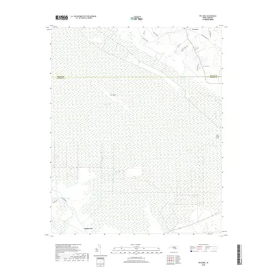
2019 Map of Pin Hook
USGS Topo · Published 2019About this map
Angola Swamp dominates this landscape along the border of Duplin and Pender counties, forming a dense hydrologic network that has historically limited development in the coastal plain. The small settlement of Pin Hook sits at a crossroads in the north, where family-named routes like Sidney Cavenaugh Ln and Tim Cavenaugh Ln suggest deep local ancestral ties to the land.
Find a feature on this map
19 named features on this map. Tap any name to fly to it.
Don’t see what you’re looking for? This feature index may not catch every label — zoom into the map to look around manually.
Map Details
Editions of this 2019 Pin Hook Map
This is the sole edition of this map. No revisions or reprints were ever made.
Other maps of this area

1942 · Burgaw
USGS Topo · 1:62,500

1943 · Kenansville
USGS Topo · 1:62,500

1948 · Kenansville
USGS Topo · 1:62,500

1948 · Maple Hill
USGS Topo · 1:62,500

1948 · Richlands
USGS Topo · 1:62,500

1953 · Beaufort
USGS Topo · 1:250,000

1954 · Beaufort
USGS Topo · 1:250,000

1965 · Richlands
USGS Topo · 1:62,500

1972 · Beaufort
USGS Topo · 1:250,000
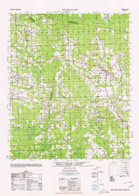
1980 · Richlands
USGS Topo · 1:62,500