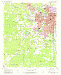
1962 Map of Pine Bluff
USGS Topo · Published 1978About this map
The urban core of Pine Bluff and its sprawling residential and industrial expansions dominate the eastern half of this survey, anchored by the Arkansas Mechanical and Normal College and a dense network of civic institutions. This era shows the city as a significant regional hub, with the St Louis Southwestern and Missouri Pacific railroads threading through the street grid past landmarks like the Courthouse and Davis Hospital. Beyond the city limits, the landscape transitions into the agricultural and wooded bottoms of Bayou Bartholomew. To the west and south, smaller rural communities like Watson Chapel and Sulphur Springs are documented alongside numerous country churches and cemeteries, such as Liberty Hill Ch Cem and Spring Hill Ch. These outlying areas in Niven and Vaughne townships reveal the traditional settlement patterns of Jefferson County before further suburbanization took hold.
Find a feature on this map
77 named features on this map. Tap any name to fly to it.
Don’t see what you’re looking for? This feature index may not catch every label — zoom into the map to look around manually.
Map Details
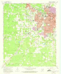
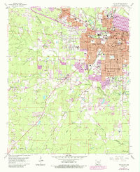
Editions of this 1962 Pine Bluff Map
4 editions found

Other maps of this area

1932 · Pastoria
USGS Topo · 1:62,500

1935 · Altheimer
USGS Topo · 1:62,500

1935 · Pastoria
USGS Topo · 1:62,500

1935 · Noble Lake
USGS Topo · 1:62,500

1948 · Helena
USGS Topo · 1:250,000

1950 · Helena
USGS Topo · 1:250,000

1955 · Helena
USGS Topo · 1:250,000

1955 · Little Rock
USGS Topo · 1:250,000

1956 · Little Rock
USGS Topo · 1:250,000

1959 · Helena
USGS Topo · 1:250,000