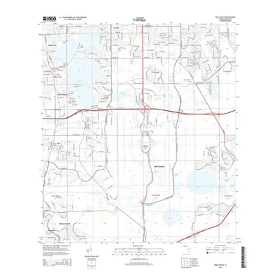
2015 Map of Pine Castle
USGS Topo · Published 2015About this map
The Orlando International Airport dominates the central landscape of this 2015 survey, surrounded by the suburban development of south Orlando. To the north, the intricate shorelines of Lake Conway and Little Lake Conway define the residential character of Belle Isle and Edgewood, where Oak Island sits as a prominent landform within the water. The map traces the transition from these established lakeside communities to the industrial corridors along Tradeport Dr and the residential expansion in Meadow Woods and Flamingo.
Find a feature on this map
54 named features on this map. Tap any name to fly to it.
Don’t see what you’re looking for? This feature index may not catch every label — zoom into the map to look around manually.
Map Details
Editions of this 2015 Pine Castle Map
This is the sole edition of this map. No revisions or reprints were ever made.
Other maps of this area

1953 · Lake Jessamine
USGS Topo · 1:24,000

1953 · St Cloud North
USGS Topo · 1:24,000

1953 · Narcoossee
USGS Topo · 1:24,000

1953 · Pine Castle
USGS Topo · 1:24,000

1953 · Kissimmee
USGS Topo · 1:24,000

1953 · Oviedo SW
USGS Topo · 1:24,000

1953 · Narcoossee NW
USGS Topo · 1:24,000

1955 · Orlando
USGS Topo · 1:250,000

1956 · Orlando West
USGS Topo · 1:24,000

1956 · Orlando East
USGS Topo · 1:24,000