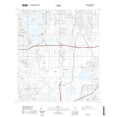
2021 Map of Pine Castle
USGS Topo · Published 2021About this map
Orlando International Airport dominates the southern half of this suburban landscape, showcasing the massive infrastructure of the modern transportation hub. North of the airport, the terrain is defined by a dense network of residential streets and a series of prominent water bodies including Lake Conway, Lake Warren, and Lake Nona. Small established communities and incorporated cities like Belle Isle, Edgewood, and Conway are tightly integrated into the lakefronts, while the historic area of Pine Castle and the settlement of Taft sit along the western edge.
Find a feature on this map
118 named features on this map. Tap any name to fly to it.
Don’t see what you’re looking for? This feature index may not catch every label — zoom into the map to look around manually.
Map Details
Editions of this 2021 Pine Castle Map
This is the sole edition of this map. No revisions or reprints were ever made.
Other maps of this area

1953 · Lake Jessamine
USGS Topo · 1:24,000

1953 · St Cloud North
USGS Topo · 1:24,000

1953 · Narcoossee
USGS Topo · 1:24,000

1953 · Pine Castle
USGS Topo · 1:24,000

1953 · Kissimmee
USGS Topo · 1:24,000

1953 · Oviedo SW
USGS Topo · 1:24,000

1953 · Narcoossee NW
USGS Topo · 1:24,000

1955 · Orlando
USGS Topo · 1:250,000

1956 · Orlando West
USGS Topo · 1:24,000

1956 · Orlando East
USGS Topo · 1:24,000